""Everybody was startled, including us," Eric Sanderson, vice president of urban conservation at the New York Botanical Garden, stated regarding the findings of the Blue Zones."
""Understanding the historical ecology-particularly the geographic distribution of streams and wetlands prior to the construction of the city-can help reframe the way we see the current urban landscape," the researchers noted."
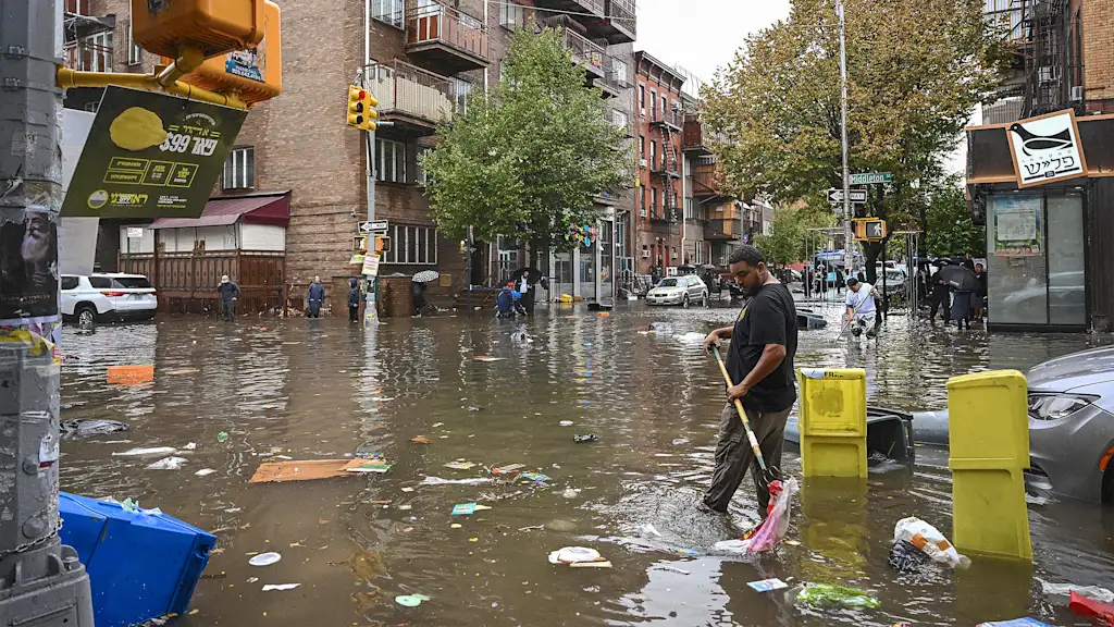
New York City faces significant threats from climate change, particularly from storm surges and coastal flooding. Researchers at the New York Botanical Garden have developed an interactive map identifying 'Blue Zones,' areas at risk of flooding. Over 20% of the city falls within these zones. The research utilized over 500 years of flood data and examined the city's natural hydrology. The findings aim to assist city officials and residents in preparing for climate impacts, especially in inland areas with aging infrastructure that cannot manage heavy rainfall.
Read at Fast Company
Unable to calculate read time
Collection
[
|
...
]