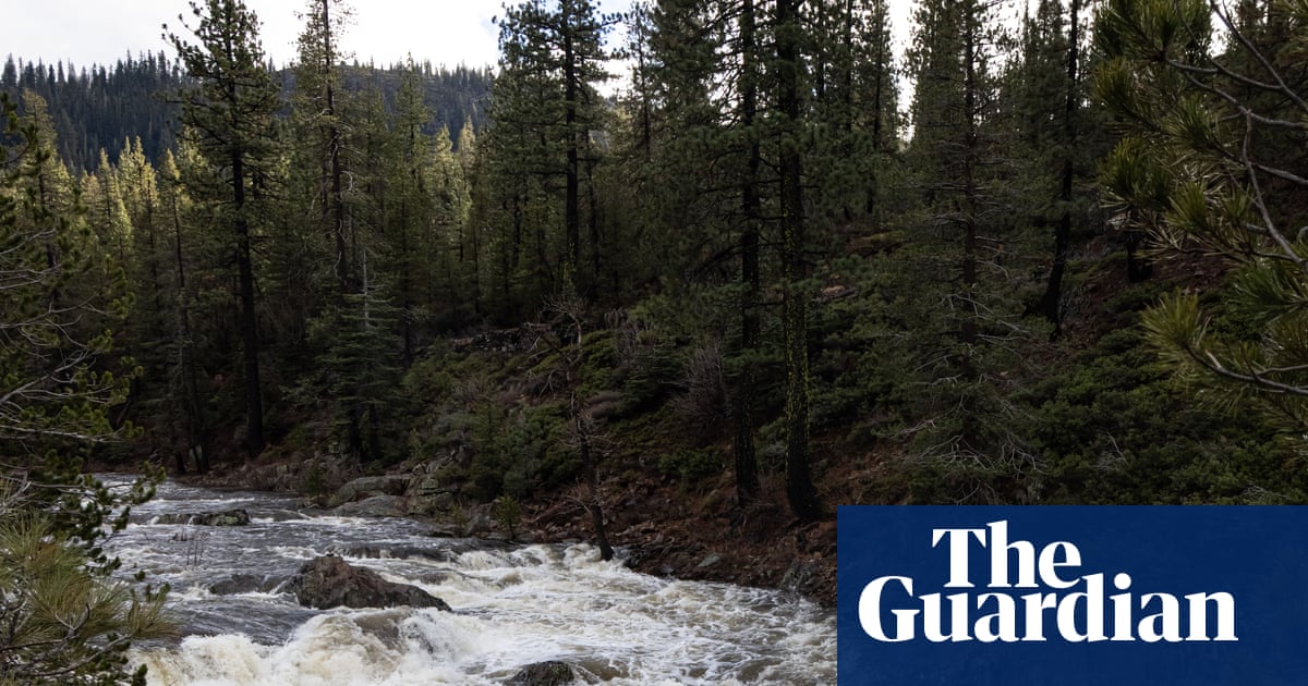
"After prolonged heavy rainfall and devastating flooding across the Pacific north-west in the past few weeks, further flood watches have been issued across California through this week. With 50-75mm (2-3in) of rainfall already reported across northern California this weekend, a series of atmospheric rivers will continue to bring periods of heavy rain and mountain snow across the northern and central parts of the state, with flood watches extending until Friday."
"Los Angeles could receive 100-150mm (4-6in) of rainfall between Christmas Eve and Christmas Day, which could make it one of the wettest Christmases on record for the city. River and urban flooding are likely particularly where there is run-off from high ground with additional risks of mudslides and rockslides in mountain and foothill areas. Winter storm warnings are also in effect for Yosemite national park, with the potential for 1.8-2.4 metres (6-8ft) of accumulating snow by Boxing Day."
Atmospheric rivers will bring heavy rain and mountain snow across northern and central California, with flood watches through Friday. Widespread cumulative rainfall should exceed 50mm by Boxing Day, with 200–300mm possible in the north‑west and on western slopes of the northern Sierra Nevada. Los Angeles could see 100–150mm between Christmas Eve and Christmas Day, increasing river and urban flood risk and potential mudslides and rockslides in mountain and foothill areas. Yosemite faces winter storm warnings with 1.8–2.4m of accumulating snow by Boxing Day, and heavy snow plus strong winds will disrupt travel. Zimbabwe has a level 2 warning for heavy rain, hail, lightning, and strong winds from 21–24 December, with some areas expecting over 50mm in 24 hours.
Read at www.theguardian.com
Unable to calculate read time
Collection
[
|
...
]