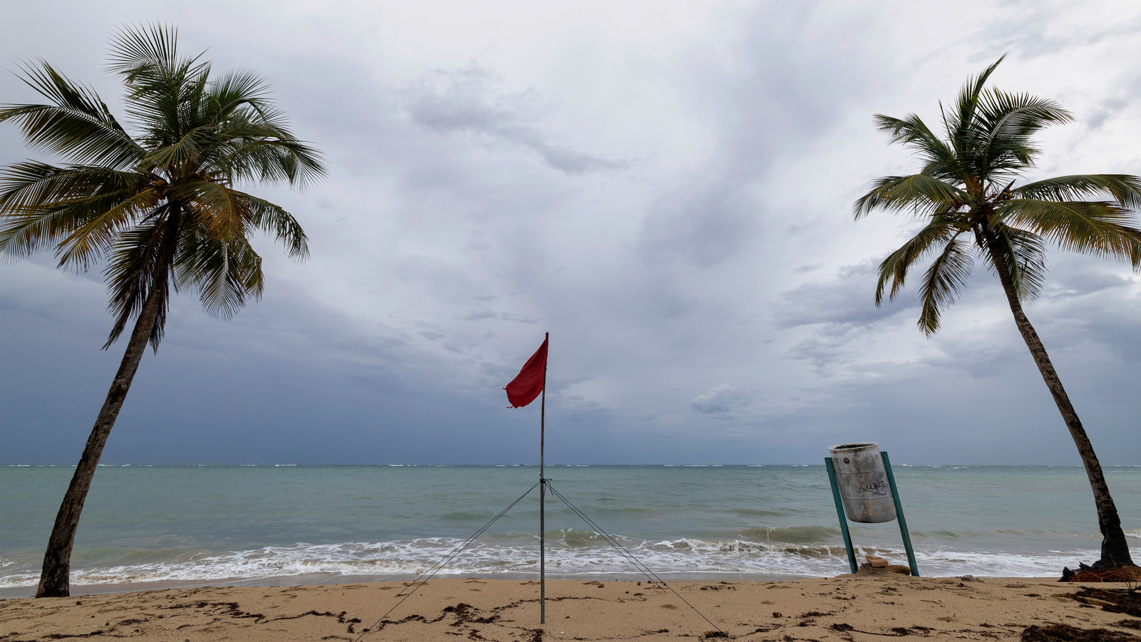
"Hurricane Erin has intensified to a Category 4 storm with 130 mph winds, impacting the Caribbean and forecasted to create dangerous conditions along the U.S. East Coast."
"Hurricane-force winds from Erin extend 60 miles from the center, while tropical-storm-force winds reach up to 230 miles, set to affect coastal areas without direct landfall."
"The Bahamas government has issued a Tropical Storm Watch and a Tropical Storm Warning for the impacted areas, while Dare County has declared an emergency to prepare for potential impacts."
"Erin briefly reached Category 5 with 160 mph winds, making it the first Atlantic hurricane of the year, prompting additional warnings and evacuation orders."
Hurricane Erin has reintensified to a Category 4 storm with maximum sustained winds of 130 mph and is located near the Southeast Bahamas. A Tropical Storm Watch has been issued for the central Bahamas, and a Tropical Storm Warning is in effect for the Turks and Caicos Islands. Erin is expected to maintain its intensity into midweek, affecting coastal areas despite not making direct landfall. Evacuations have been ordered for Dare County, North Carolina, due to potential flooding and hazardous surf conditions.
Read at ABC7 Los Angeles
Unable to calculate read time
Collection
[
|
...
]