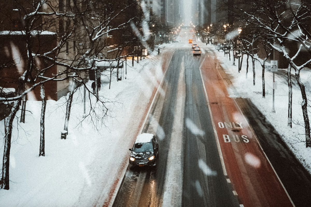
New York City will shift from a calm, chilly Saturday to an intense coastal storm Sunday into Monday. A Blizzard Warning is in effect from 6 AM Sunday through 6 PM Monday. Forecasts call for roughly 9 to 13 inches Sunday night and another 8 to 12 inches Monday, with higher coastal totals possible. Strong northeast winds will create blowing snow, whiteout conditions, and potential moderate to locally major coastal flooding that can erode dunes. Travel should be limited to emergencies; expect hazardous roads, slick bridges, exposed subway entrances, and possible short-term power outages. Prepare supplies and check on vulnerable neighbors.
"Heavy snow is likely overnight Sunday into Monday. Forecast text calls for 9 to 13 inches of new snow Sunday night, followed by another 8 to 12 inches on Monday, with coastal spots potentially seeing even higher totals. Strong northeast winds will whip that snow around, creating blowing snow and whiteout conditions. A surge during the high tide cycle could bring moderate to locally major coastal flooding and chew away at dunes."
"Snow should start up Sunday morning in parts of the region and ramp up through the afternoon, becoming heaviest Sunday night. That sets up the roughest conditions overnight and into Monday's morning commute. Roads, bridges, and exposed subway entrances could turn slick and hazardous with falling and blowing snow, so build in extra travel time and consider putting off anything that is not essential. For local guidance on shelters, warming centers, and winter safety, see NYC Emergency Management."
Read at Hoodline
Unable to calculate read time
Collection
[
|
...
]