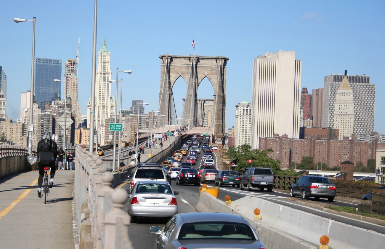
"Traffic is flowing better in the congestion relief zone, the streets are safer, and-to paraphrase Mark Twain-the reports of the death of lower Manhattan were greatly exaggerated."
"Our research team used publicly available air pollution data both from ground-based monitors owned by the New York City Community Air Survey (NYCCAS) and satellite remote sensing retrievals from NASA."
"With the satellite data we essentially have complete spatial coverage of the five boroughs at high spatial resolution."
New York City's congestion pricing program has been operational for over a year, resulting in improved traffic flow and enhanced safety in the congestion relief zone. Drivers report that the toll is worth avoiding gridlock. Research on air quality impacts utilized data from the New York City Community Air Survey and NASA satellite data, allowing for comprehensive analysis. The combination of ground-based and satellite data provides valuable insights, although more monitoring could enhance research outcomes. Overall, the program has positively affected urban mobility and environmental conditions.
Read at State of the Planet
Unable to calculate read time
Collection
[
|
...
]