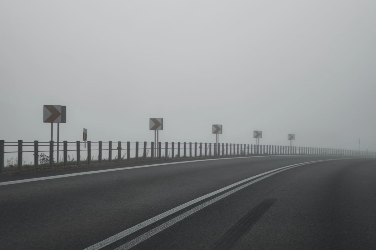
"A National Weather Service Special Weather Statement out of Upton says the fog will continue to expand through mid-morning, while refreezing of yesterday's melt could turn untreated surfaces into black ice. The advisory runs through 9:00 a.m. Saturday and flags bridges, ramps and secondary streets as the spots most likely to cause trouble."
"Once the fog lifts, the city should see mostly sunny skies, light south winds and a high near 46°F. Sunday, March 1, 2026, looks colder, with snow likely between about 7 a.m. and 4 p.m. The National Weather Service calls for less than an inch of new snow in the five boroughs and only minor impacts."
"Fog plus near-freezing temps can put a clear glaze on anything that was wet overnight, so sand, salt and a little extra caution go a long way. Build in more travel time, keep an eye on alerts like NotifyNYC and consider a different block if sidewalks look untreated or oddly shiny."
New York City experienced dense patchy fog Saturday, February 28, 2026, with temperatures near freezing and black ice forming on untreated surfaces. A National Weather Service advisory warned of hazardous conditions through 9:00 a.m., particularly on bridges, ramps, and secondary streets. Drivers were advised to reduce speed and use low beams. By mid-morning, fog was expected to dissipate, revealing mostly sunny skies with highs near 46°F. Sunday brought colder conditions with light snow expected between 7 a.m. and 4 p.m., accumulating less than an inch. Sunday night temperatures dropped sharply to near 20°F with brisk north winds, and Monday highs remained in the upper 20s to 30°F.
Read at Hoodline
Unable to calculate read time
Collection
[
|
...
]