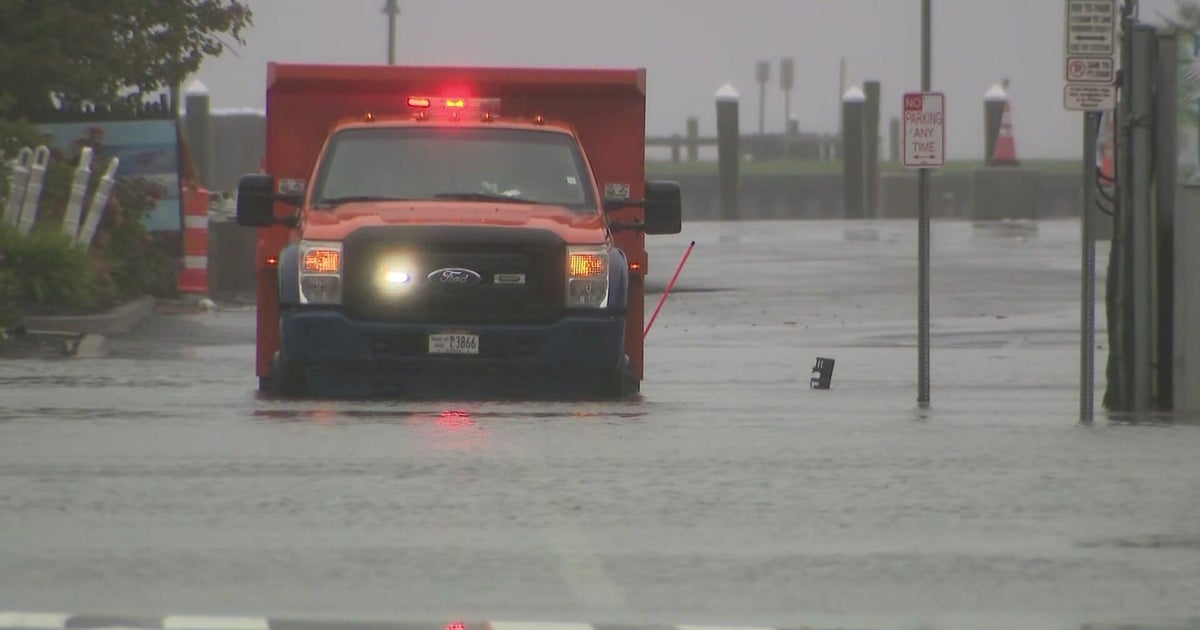
"A nor'easter that's bearing down on the New York City area is expected to have lingering impacts through Monday night. New York City, Long Island and Westchester County are under a state of emergency, along with the entire state of New Jersey. The powerful storm blew in from east to west Sunday, packing wind gusts of nearly 60 mph and soaking rains. The storm is also causing some coastal flooding, particularly at high tide, in low lying places on Long Island."
"On the South Shore, the high tide will be between 1 p.m. and 2 p.m. On the North Shore, between 4 p.m. and 5 p.m. That means that there will be flooding on both the North Shore and the South Shore -- light to moderate on the North Shore, it could be major in some vulnerable areas. On the South Shore, it will be moderate to heavy, and that flooding could be as high as 2 to 3 feet,"
A nor'easter is impacting the New York City region, Long Island and parts of New Jersey with strong winds, heavy rain and coastal flooding. New York City, Long Island and Westchester County are under a state of emergency, along with the entire state of New Jersey. Wind gusts reached nearly 60 mph and heavy surf has caused erosion and beach loss in exposed areas. High tide cycles Monday afternoon could cause up to 2 to 3 feet of inundation in vulnerable south shore communities and light to moderate flooding on the north shore. Authorities are monitoring Freeport, Long Beach, Merrick, Fire Island, Mastic Beach, East Patchogue, Lindenhurst and Bay Shore.
Read at Cbsnews
Unable to calculate read time
Collection
[
|
...
]