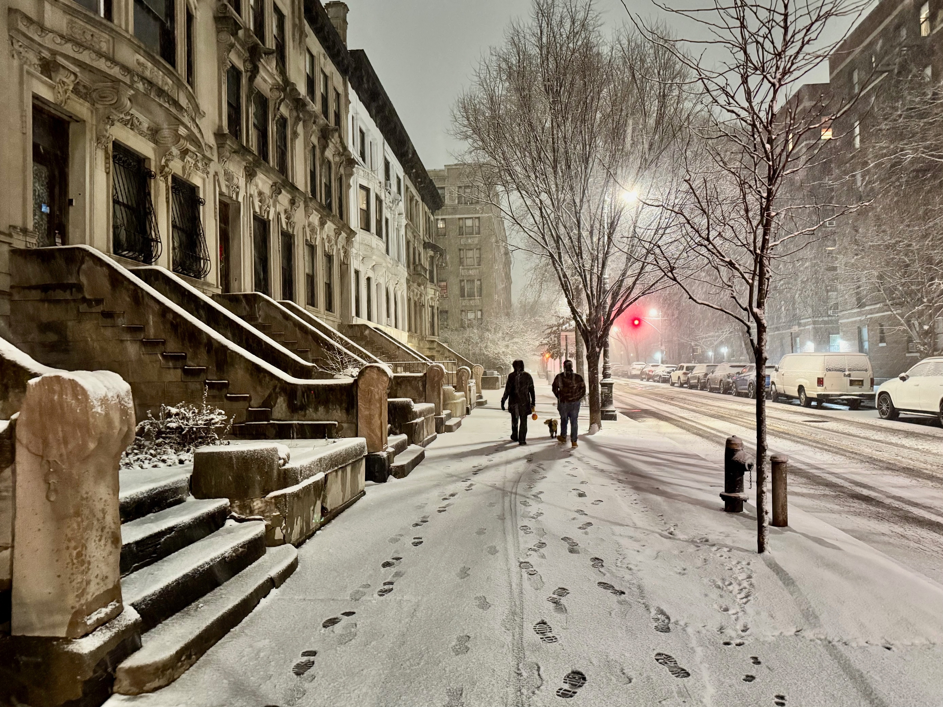
"Forecasters say we're about to enter one of the coldest periods of the season, with wind chills dropping as low as -20 degrees in the mornings and daytime temperatures struggling to climb out of the teens. The National Weather Service has issued Cold Weather Advisories for parts of the Tri-State area, warning that frostbite and hypothermia can set in quickly with prolonged exposure."
""We're talking about an extended period through the rest of this week, not only below the freezing mark but probably struggling to get out of the lower 20s most afternoons." Central Park officially recorded 11.4 inches of snow, the city's biggest snowfall since 2022, and thanks to the incoming Arctic air, that snow isn't going anywhere. Temperatures are expected to remain below freezing until at least February 3, meaning melting will be minimal and refreezing will be a nightly problem."
A prolonged stretch of dangerously cold weather will grip New York, with wind chills plunging as low as -20 degrees in the mornings and daytime highs stuck in the teens. The National Weather Service has issued Cold Weather Advisories for parts of the Tri-State area and warns that frostbite and hypothermia can set in quickly with prolonged exposure. Central Park recorded 11.4 inches of snow, and incoming Arctic air will keep temperatures below freezing through at least February 3, limiting melting and causing nightly refreezing. City officials urge limited outdoor time, layered clothing, and checking on neighbors; shelters and warming centers remain open.
Read at Time Out New York
Unable to calculate read time
Collection
[
|
...
]