"After a chilly start to the week, Monday topped out around 36 degrees, temperatures are steadily climbing. Today will see temps nudge into the low 40s, Wednesday and Thursday hover in the upper 40s and then things really take a turn. Friday is expected to hit the low 50s with a chance of showers and Saturday could flirt with the upper 50s, making it one of the warmest mid-January weekends in recent memory."
"Central Park's According to the National Weather Service, the warm-up is being driven by a series of low-pressure systems moving through the Great Lakes and Northeast, pulling milder air into the region. 10-day outlook backs it up: daytime highs are trending well above seasonal averages, with Saturday forecast to feel downright pleasant. Even Friday night's rain will be more of a spring shower than winter mess-no snowstorm and no deep freeze."
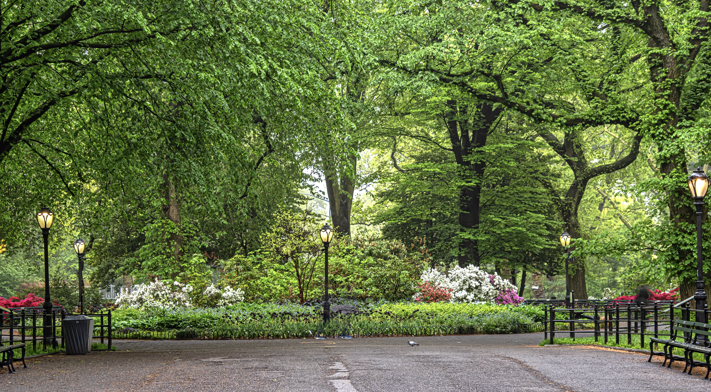
"That said, don't get too carried away planning your rooftop picnic. Forecasters say this warm stretch won't last forever. A frontal system moving in late Saturday could bring more rain and colder air is expected to creep back in by the end of the weekend and into early next week. In classic New York fashion, winter isn't done with us."
New York City will warm steadily through the week, with highs near 36°F Monday, low 40s Tuesday, upper 40s Wednesday–Thursday, low 50s Friday, and upper 50s Saturday. The warm-up is driven by low-pressure systems moving through the Great Lakes and Northeast that pull milder air into the region. Daytime highs are well above seasonal averages and Friday night's rain will resemble a spring shower rather than a winter storm. A frontal system could bring rain late Saturday and colder air will return by early next week. The warm spell is brief but may make outdoor spaces feel springlike.
Read at Time Out New York
Unable to calculate read time
Collection
[
|
...
]