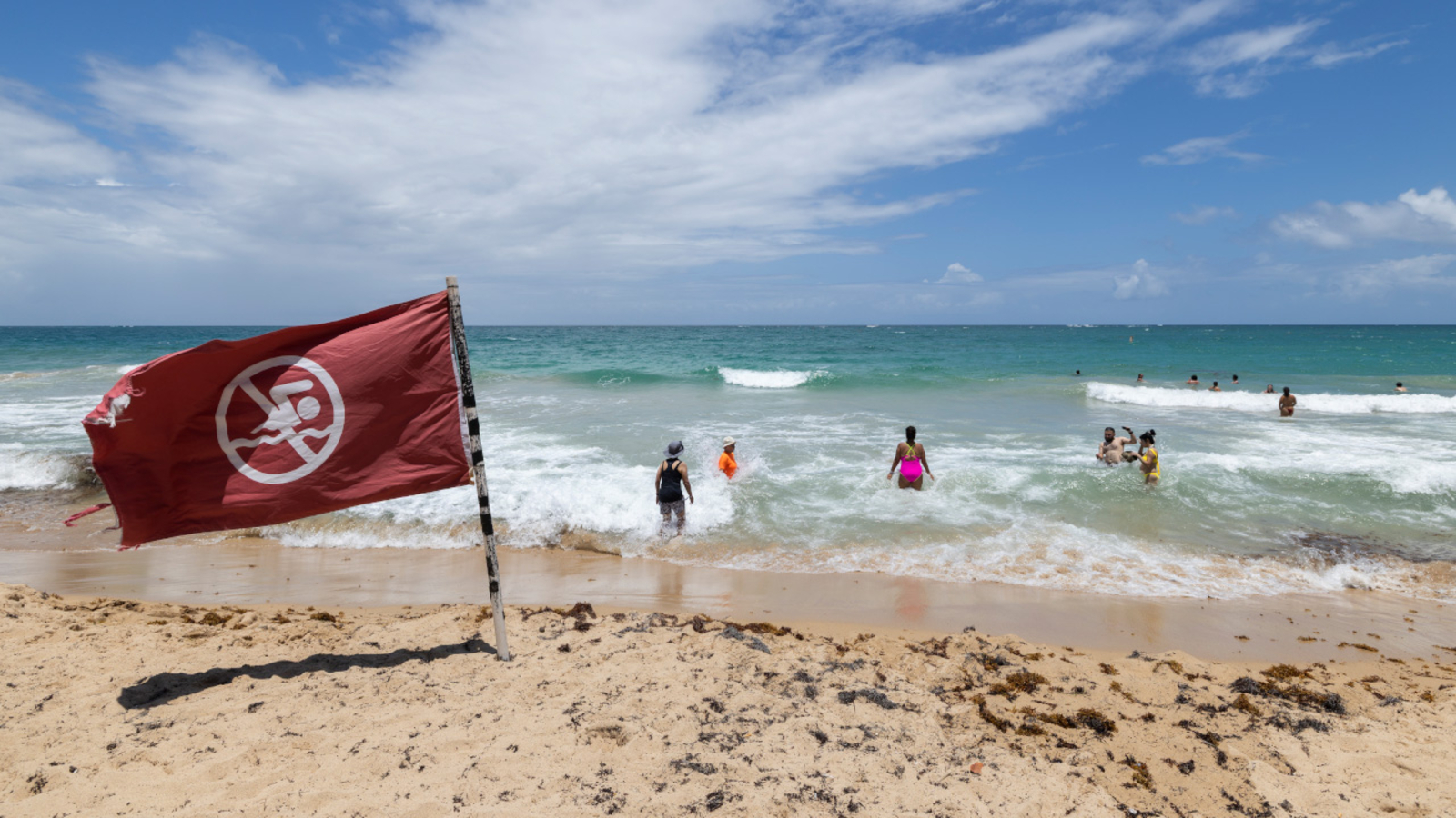
"Erin has strengthened into a powerful Category 4 hurricane with maximum sustained winds of 145 mph and is currently located 150 miles northeast of Anguilla."
"The outer bands of Erin are expected to produce areas of heavy rainfall across the northern Leeward Islands, the Virgin Islands, and Puerto Rico through Sunday."
"Hurricane Erin is forecast to take a sharp turn northeast, with a higher risk of direct tropical storm conditions affecting protruding U.S. coastal areas."
"Accuweather reports that this year's hurricane season is projected to be unusually busy with forecasts of six to ten hurricanes expected."
Hurricane Erin has become a powerful Category 4 storm with maximum sustained winds of 145 mph, positioned 150 miles northeast of Anguilla. Tropical storm watches are active for St. Martin, St. Barts, and St. Maarten. Heavy rainfall is anticipated across northern Leeward Islands, Virgin Islands, and Puerto Rico. The storm is expected to take a sharp eastward turn, posing a potential risk to Bermuda and certain areas of the U.S. coast. Forecasters predict an unusually busy hurricane season with 6 to 10 hurricanes anticipated.
Read at ABC11 Raleigh-Durham
Unable to calculate read time
Collection
[
|
...
]