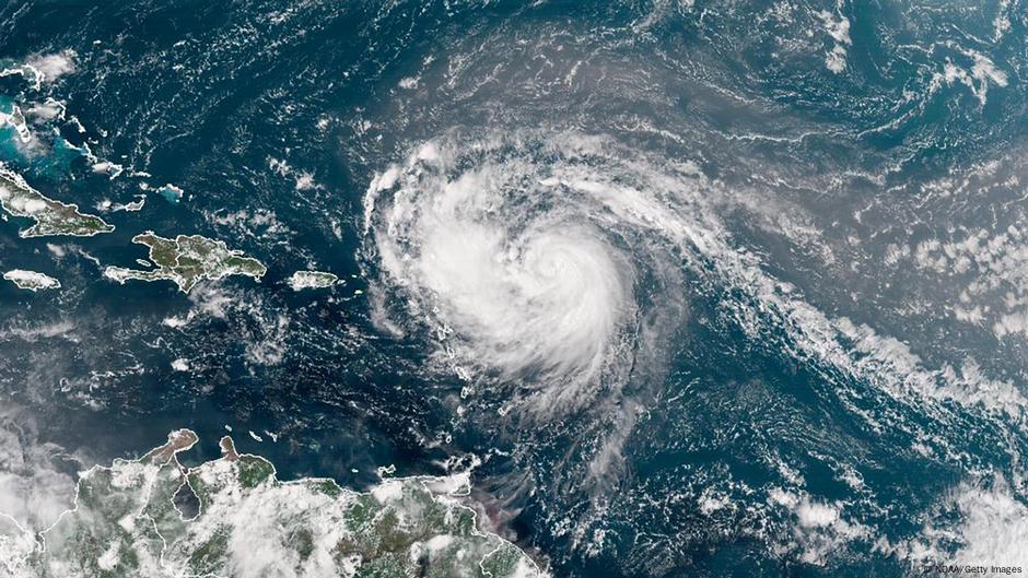
"Hurricane Erin has strengthened into a category 2 hurricane with maximum sustained winds of 100 mph, posing risks of flooding and landslides across multiple areas."
"Tropical storm watches have been issued for islands including Anguilla, Barbuda, and St. Martin, while heavy rain is expected in Antigua and Barbuda, among others."
"Forecasts indicate Erin will make a sharp turn northeast, likely traveling between the US and Bermuda, with a potential direct impact on Bermuda."
"Erin, the Atlantic season's first hurricane, is predicted to escalate to a major Category 3 storm, approaching 200 miles north of Puerto Rico."
Hurricane Erin has intensified to a category 2 storm, positioned 250 miles northeast of Anguilla and exhibiting winds of 100 mph. Flooding and landslide threats have been highlighted for the region, with tropical storm watches in effect for several Caribbean islands. Heavy rain is expected in Antigua and Barbuda, with totals up to 6 inches. The hurricane is shifting direction towards a northeast trajectory, likely affecting Bermuda on its path. Erin is anticipated to become a major Category 3 hurricane soon, with significant impacts on surrounding areas.
Read at www.dw.com
Unable to calculate read time
Collection
[
|
...
]