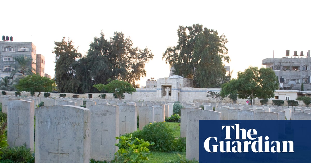
"Satellite imagery of the Gaza war cemetery in al-Tuffah, a district of Gaza City, shows extensive earthworks in the southernmost corner of the graveyard. Bomb craters can be seen around the cemetery, but in this area the destruction appears to have been more systematic. Rows of gravestones have been removed, the topsoil has been churned up and a substantial earth berm can be seen running across the middle of the affected area."
"There was no sign of the earthworks in March last year, but they are clearly visible in a satellite picture from 8 August. The disturbed area is even more apparent in an image of the cemetery from 13 December. Vegetation has regrown among the ranks of gravestones covering the rest of the cemetery, but the southwestern corner remains bare, with the earth berm casting a substantial shadow over the sandy soil."
Satellite imagery shows earthworks in the southern corner of the Gaza War Cemetery in al-Tuffah, with gravestones removed, topsoil churned and a substantial earth berm across the area. No earthworks were visible in March imagery; disturbance appears by August and increases by December. Vegetation has regrown across most of the cemetery, while the southwestern corner remains bare. Two bulldozing operations occurred: an external clearance extending about 12 metres around the cemetery and an internal bulldozing of slightly less than one dunum inside the walls that affected graves of Australian soldiers and created sand mounds used as earth barriers. The interior bulldozing took place after Israeli forces withdrew, around late April or early May.
Read at www.theguardian.com
Unable to calculate read time
Collection
[
|
...
]