Miami food
fromwww.theguardian.com
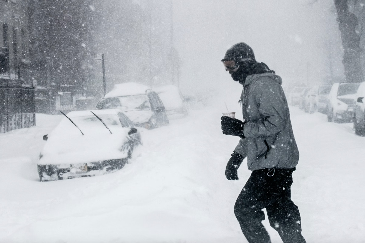
1 week agoWeather tracker: Furnace Creek sizzles as snow sweeps Siberia in a week of extremes
Record-breaking heat and storms hit Honduras, North America, Indonesia, China, Mongolia, and Siberia, with multiple temperature records set and extreme precipitation events reported.