fromLondon Business News | Londonlovesbusiness.com
9 months agoMiscellaneous
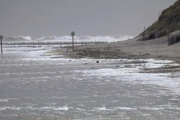
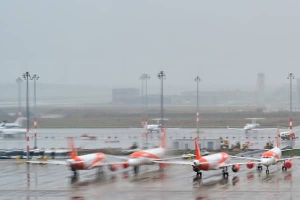
Wind speed of 122mph recorded in Scotland and thousands left with no power - London Business News | Londonlovesbusiness.com
Storm Floris caused record wind speeds in Scotland, resulting in widespread power outages and damage to the electricity network.