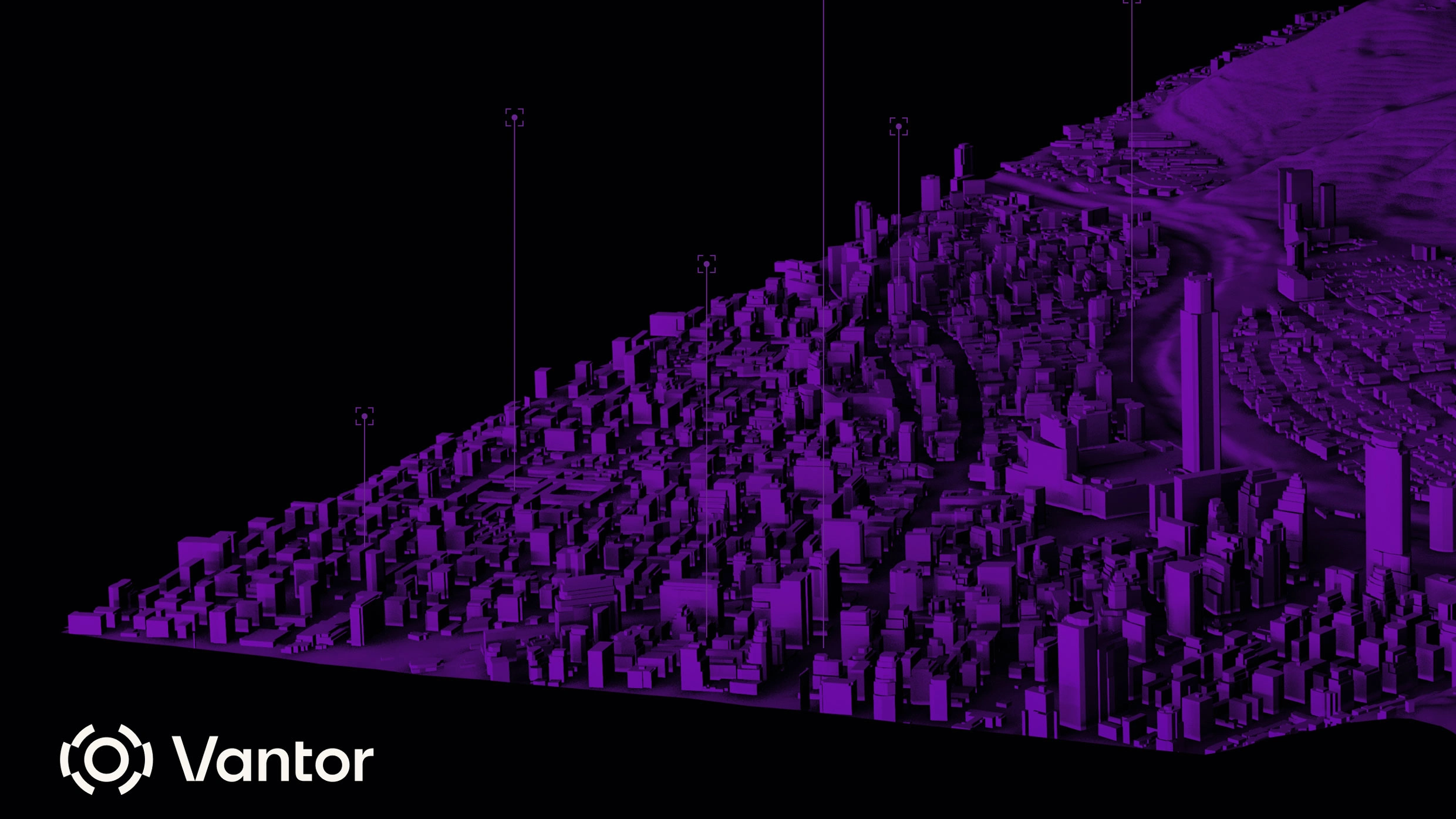
Vantor, formerly Maxar Intelligence, was rebranded last month after its private equity owner replaced the Maxar name. The company operates imaging satellites about 280 miles above Earth that produce high-resolution imagery documenting extreme weather, military buildups, and large-scale destruction. The new Vantor identity emphasizes a harder-edged, tech-forward posture, matched by a cinematic website and executive references to a "harsh V." Industry leaders say pure imagery is declining as a differentiator; customers increasingly demand fused sensor data, AI-powered analytics and real-time actionable intelligence. Rising military and intelligence demand is pushing companies toward expanded government and defense services.
"If you've seen a bird's-eye view of Earth over the past decade, chances are it came from Colorado-based Maxar Intelligence. From some 280 miles up, its powerful imaging satellites have created an atlas of modern problems: the impacts of extreme weather, the build-up of Russian tanks near the Ukrainian border, the ruination of Khartoum and the decimation of Gaza, even the not-so-total destruction of Iranian nuclear facilities by U.S. bombers."
"The Maxar makeover "reflects a broader crossroads for Earth observation," says Jarkko Antila, the CEO of Kuva Space, a Finnish startup building a constellation of AI-equipped hyperspectral nanosatellites, capable of monitoring any material on the Earth's surface. "Raw satellite imagery alone is less of a differentiator. Combining imagery with AI-powered analytics and sensor fusion to access real-time actionable intelligence is what customers demand.""
Read at Fast Company
Unable to calculate read time
Collection
[
|
...
]