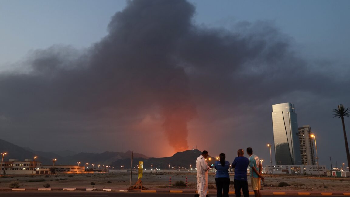
"In response to the conflict in the Middle East, Planet is implementing temporary restrictions on data access within specific areas of the affected region. Effective immediately, all new imagery collected over the Gulf States, Iraq, Kuwait, and adjacent conflict zones will be subject to a mandatory 96-hour delay before it is made available in our archive. This change applies to all users except authorized government users who maintain immediate access for mission-critical operations."
"Planet said it wants to prevent adversarial actors from using its data for Battle Damage Assessment (BDA) purposes. In other words, the company doesn't want to help Iran's military know where it succeeded and where it failed."
Planet Labs, a commercial satellite imaging company operating hundreds of Earth-observation satellites, announced temporary restrictions on releasing imagery from conflict zones in the Middle East. The company implemented a mandatory 96-hour delay before new imagery collected over the Gulf States, Iraq, Kuwait, and adjacent areas becomes available to the public. Imagery over Iran remains immediately available. The restriction applies to all users except authorized government agencies with mission-critical operations. Planet aims to prevent adversarial actors from conducting battle damage assessments using satellite data to evaluate military strike effectiveness. The company maintains contracts with US military and intelligence agencies while serving commercial and research clients.
#satellite-imagery-restrictions #middle-east-conflict #military-intelligence #battle-damage-assessment #commercial-space-technology
Read at Ars Technica
Unable to calculate read time
Collection
[
|
...
]