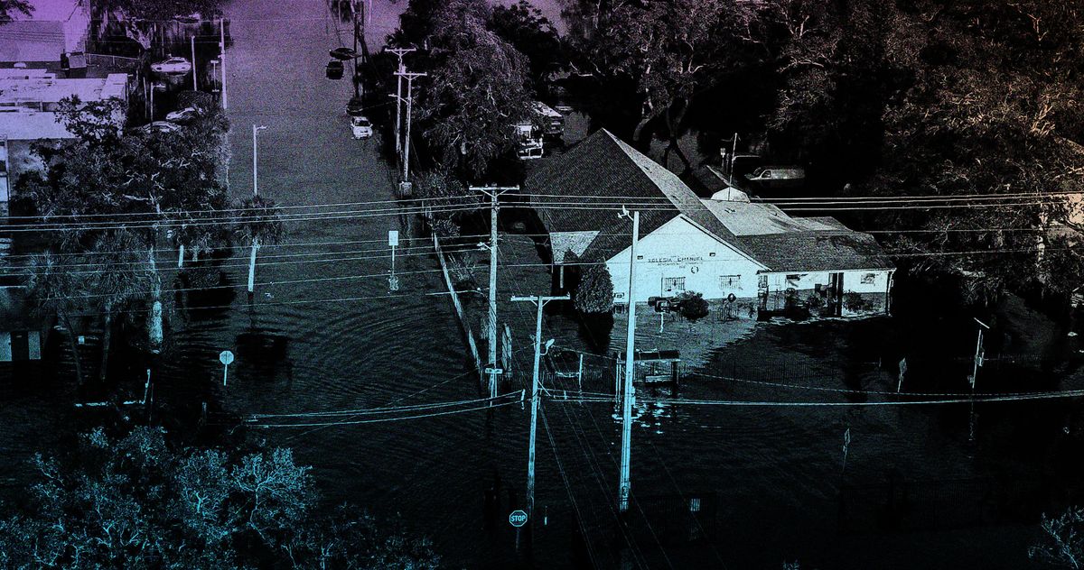
"The change will take effect on July 31, just as the peak of hurricane season begins, making forecasting potentially more hazardous for millions of Americans."
"The satellites offer important data on rapid intensification, a dangerous process of a hurricane growing in speed or size before landfall, increasingly common due to climate change."
The National Oceanic and Atmospheric Administration will cease to provide military satellite data crucial for hurricane tracking, effective July 31, coinciding with the peak of hurricane season. This decision poses a risk for millions living in hurricane-prone areas. Military satellites utilize microwaves to penetrate cloud cover, enabling meteorologists to view the storm's structure, particularly the eyewall, which signifies storm strength. The data has significantly enhanced hurricane forecasting, helping predict rapid intensification, a phenomenon growing more common due to climate change.
Read at Intelligencer
Unable to calculate read time
Collection
[
|
...
]