#13-months-of-sunshine
#13-months-of-sunshine
[ follow ]
#climate-change #temperature-records #heat-wave #california #weather #water-supply #southern-california #drought

:max_bytes(150000):strip_icc()/TAL-california-golden-poppies-diamond-valley-lake-CAMPCALIWLDFLWRS0426-d52d1d1234344f5b8326ebb0041cd17d.jpg)

fromwww.theguardian.com
3 days agoHeatwave threatens to shatter high-temperature records across eastern US
The near-record temperatures are expected to last into this weekend, forecasters say. While it's not unprecedented to see high temperatures climb toward 90F on an April day, the length of such an April heatwave is rarely seen.
Washington DC
fromCbsnews
5 days agoNew York-area could see record highs with summerlike weather this week
Tri-State Area residents are getting a taste of June with sunshine throughout the week. High temperatures climb into the upper 70s, and with the breeze, it's going to feel much more like June than April.
Brooklyn
fromsfist.com
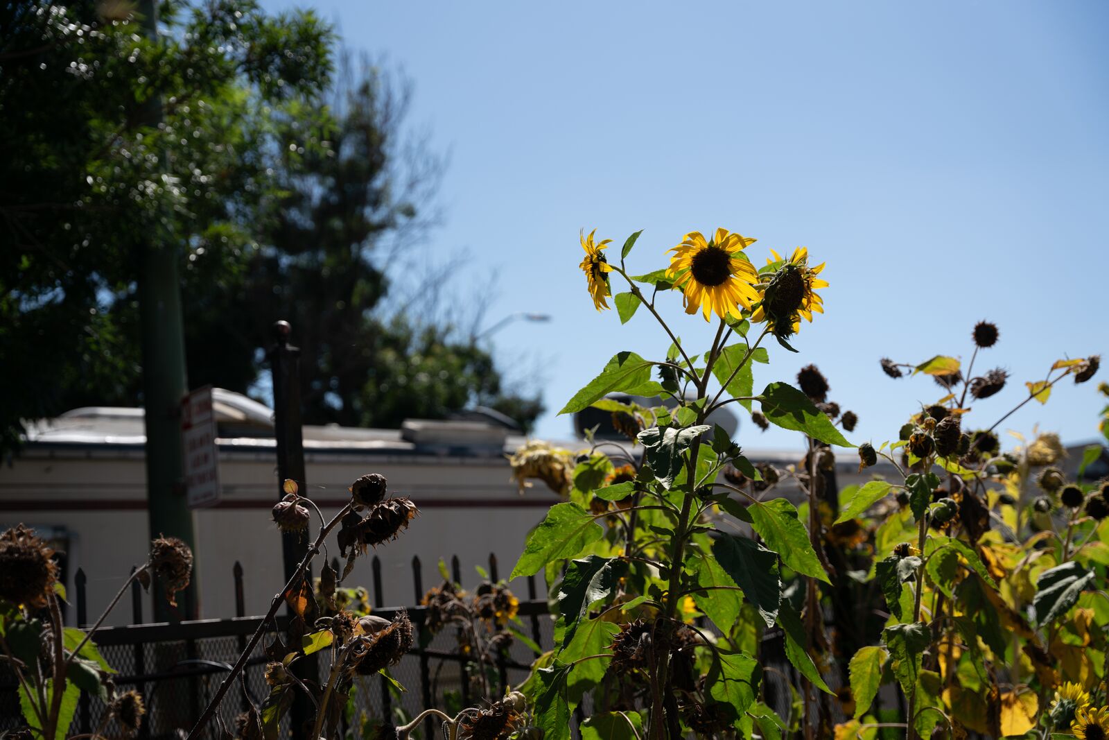
6 days agoSunday Links: California Hit With Thunder, 30,000 Lightning Strikes Over the Weekend
After 21 hours of talks, US and Iran did not reach a deal to end the war, as Vice President JD Vance said talks stalled after the US made a final offer pushing for stronger guarantees that Iran won't develop nuclear weapons.
US news
fromLos Angeles Times
6 days agoRain - and maybe thunderstorms - are expected in Los Angeles this weekend
Parts of Los Angeles will probably see rain after 11 p.m. Saturday, with scattered showers anticipated on Sunday afternoon before 2, and a potential for thunderstorms in some parts of the city.
Los Angeles


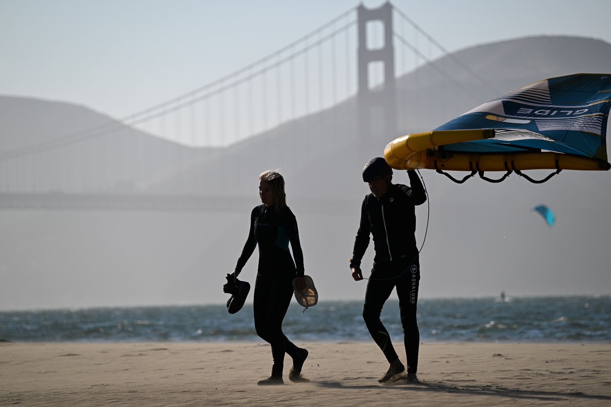
#bay-area-weather

Silicon Valley food
fromABC7 San Francisco
1 month agoBay Area heat wave continues for 3rd day; temps near 90 in East Bay, mid 80s in SF
The Bay Area experiences unseasonably warm spring weather with temperatures in the mid-90s in San Francisco and near 90 in the East Bay, prompting businesses to open early and residents to seek cooling relief.
East Bay (California)
fromwww.berkeleyside.org
1 month ago85 degrees in March? East Bay braces for unusually early heat wave
Unusually warm temperatures reaching mid-80s to low 90s are expected across the Bay Area this week, with Tuesday forecasted as the warmest day before gradual cooling begins Wednesday.


#heat-wave
California
fromLos Angeles Times
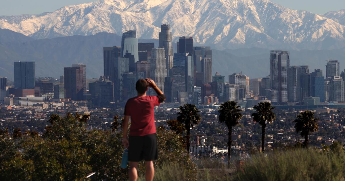
1 month agoSouthern Cailfornia's winter ends with a record-breaking heat wave
A historic late-winter heat wave across Southern California is breaking numerous daily and all-time March temperature records, with inland areas reaching triple digits while coastal regions experience 80s and 90s temperatures.

California
fromLos Angeles Times
1 month agoSouthern Cailfornia's winter ends with a record-breaking heat wave
A historic late-winter heat wave across Southern California is breaking numerous daily and all-time March temperature records, with inland areas reaching triple digits while coastal regions experience 80s and 90s temperatures.
fromThe Washington Post
1 month agoIt's so hot in the West that temperatures may even break April records soon
Not only will temperatures break March monthly records, but this heatwave will even break April records. Over the next week, around 800 high temperature records are forecast to be neared, tied or broken at 165 locations in Western and Central states - some by more than 10 degrees - with unusual warmth set to linger into late March.
US news


East Bay (California)
fromKqed
1 month agoRecord-Breaking Heat Wave Bakes the Bay Area Through Friday | KQED
An unprecedented early-season heat wave is bringing temperatures 30 degrees above normal to California, with the National Weather Service issuing its earliest March heat advisory ever, creating elevated wildfire risk and heat illness concerns.
LA food
fromFast Company
1 month agoExtreme March heat wave will scorch Los Angeles and the Southwest this week. The long-term consequences could devastating
An unprecedented heat wave will strike the American southwest this week, with temperatures 15-25 degrees above normal and potential record-breaking highs across multiple states.
#wildflower-bloom
SF parents
fromLos Angeles Times
1 month agoIt's not a superbloom but California's desert wildflowers are putting on a show: Where to see them
Death Valley National Park is experiencing its best wildflower bloom in a decade, triggered by recent rainfall and mild winter temperatures awakening dormant seeds.
LA food
fromABC7 San Francisco
1 month agoDeath Valley wildflowers blooming in the driest place in North America, but not for long
Death Valley experiences a rare superbloom of wildflowers, transforming the desert landscape into vibrant carpets of color due to exceptional rainfall and warm temperatures over six months.
#march-heat-wave
Los Angeles
fromLos Angeles Times
1 month agoDozens of temperature records shattered across SoCal as historic March heat wave sizzles on
Southern California experienced record-breaking temperatures exceeding 100 degrees across multiple cities during an unprecedented March heat wave, with conditions expected to persist through Friday.
California
fromABC7 San Francisco
1 month agoBay Area to get hit with unprecedented heat that's sure to break numerous records for March
The Bay Area will experience unprecedented March heat next week, with San Jose potentially reaching 90-degree temperatures for the first time in recorded history dating back to the 1890s.

#california-water-crisis
Agriculture
fromwww.pressdemocrat.com
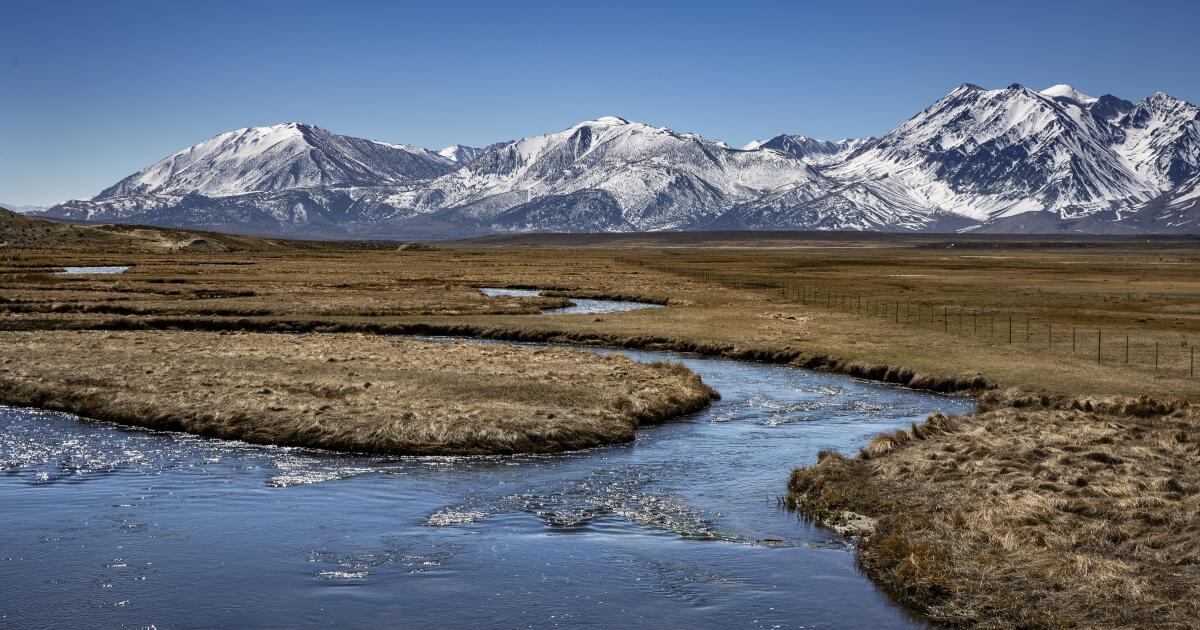
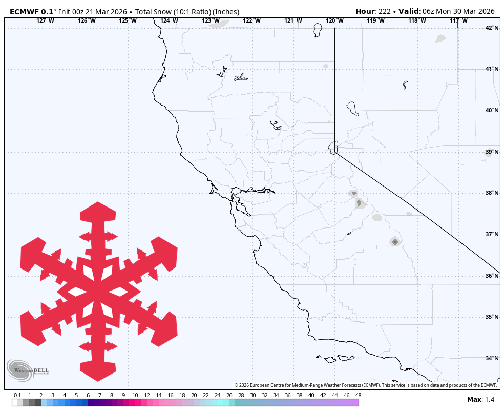
1 month agoLow snowpack, higher temperatures cause concern for Bay Area scientists, farmers
California needs significant March rain and snow to restore water resources after an unusually warm winter, despite February storms improving reservoir levels to 70-80% capacity.
Environment
fromLos Angeles Times
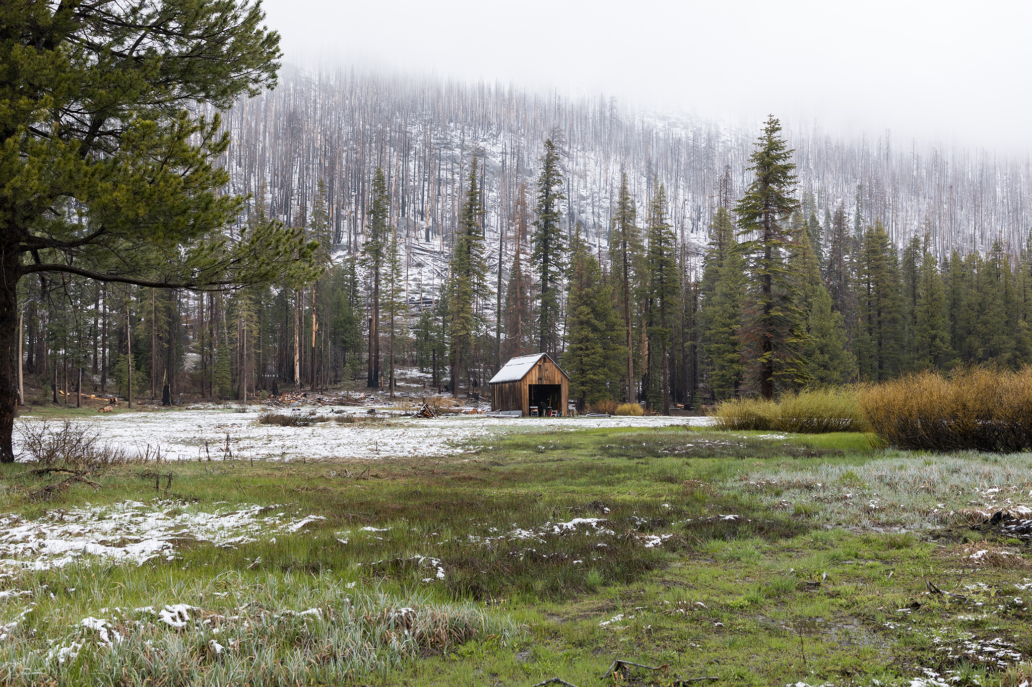
1 month agoCalifornia's snowpack was already meager. Now comes an extraordinary heat wave
California's Sierra Nevada snowpack is at 48% of average due to an extremely warm winter, with rapid melting accelerated by an incoming heat wave threatening the state's water supply.
#extreme-heat


Environment
fromwww.theguardian.com
1 month agoBlistering early-season heatwave threatens California and other western states
An early-season heatwave will bring temperatures 20-30°F above normal across western US states, threatening daily and all-time March records while intensifying drought concerns amid record low snowpack.
Snowboarding
fromSnowBrains
1 month ago9 States See Warmest Winter on Record as U.S. Logs 2nd Overall Warmest Winter Ever - SnowBrains
The 2024-25 winter was the second warmest on record nationwide, with nine states experiencing record warmth, while the Lower 48 faced the driest winter in 45 years, creating a significant snow drought in the Rockies.
Los Angeles
fromTravel + Leisure
1 month agoThis Is the Sunniest City in the U.S.-With Beaches, Hiking Trails, and Outdoor Dining
Los Angeles receives 3,257 annual sunshine hours, ranking as the sunniest U.S. city and fourth globally, with sunshine deeply integrated into daily life and outdoor activities.

:max_bytes(150000):strip_icc()/TAL-header-antelope-valley-california-poppy-reserve-state-natural-reserve-CALISUPERBLOOM0226-ee97752e2657429f8d238cf0fa3f4160.jpg)
US news
fromwww.npr.org
1 month agoWhy farmers in California are backing a giant solar farm
A 200-square-mile solar farm in California's San Joaquin Valley would generate 21,000 megawatts of power, with farmers supporting the project as an alternative use for land lacking sufficient water for crop production.


Environment
fromThe Mercury News
1 month agoLow snowpack, higher temperatures cause concern for Bay Area scientists, farmers
March precipitation in higher elevations is critical for California's water security as snowpack remains significantly below average despite February storms and warm winter conditions.
California
fromTravel + Leisure
2 months agoI've Lived in California for 50 Years-and This Is Its Best Desert City With 350 Days Of Sunshine and Old Hollywood Charm
Palm Springs is a sunny desert city celebrated for its midcentury modern architecture, vibrant arts scene, leisure-focused ambiance, and year-round events attracting diverse visitors.
California
fromLos Angeles Times
2 months agoFirst wave of nearly a week of rain hits Southern California. Snow expected for Mammoth, Tahoe
Southern California experienced heavy rains with flood watches, wind advisories, burn-scar evacuation warnings, and forecasts of significant rainfall and mountain snow this week.
fromLos Angeles Times
2 months agoAs teeth chatter across the U.S., Southern California is a hot spot: What to expect this week
While cold-stunned iguanas fall from trees in Florida and videos circulate of frozen "exploding" trees in the Northeast, Southern California is working up a sweat. A midwinter heat wave has descended on much of the state and is expected to spike temperatures as much as 20 degrees above normal in the coming week. The summer-like heat is thanks to a ridge of high pressure lingering high in the atmosphere that extends through the San Francisco Bay Area and into the Pacific Northwest.
Environment
fromsfist.com
2 months agoDry Spell Expected to Persist Until Mid-February, or Longer
It's turned into an unusually dry winter for Northern California, and that pattern, thanks to a ridge of high pressure, is going to continue for at least the first 10 days of February. As the Chronicle meteorology team tells us, the dry and balmy conditions will be with us through Super Bowl Weekend and beyond, continuing a pattern that has left the Sierra snowpack mighty low.
Environment
fromSun Sentinel
2 months agoDry and warmer week ahead for South Florida. Here's how hot it will get.
Dry air should move into South Florida this week, along with warm sunshine. Overnight Tuesday, a drier and more stable air mass will descend upon the state, creating a near-zero chance of rain throughout the week and into the weekend. Chances of rain are very low, with the exception of a brief coastal shower toward the end of the week. Sunny skies will prevail as well, pushing afternoon highs to the mid-upper 80s toward the weekend.
Environment
fromSFGATE
2 months agoHistorically warm, dry January erases snowpack gains in Sierra Nevada
"A dry January, which is historically the wettest month of the year in California, has now eroded the gains made at the start of the year and forecasts currently show no major precipitation in the next two weeks," California Department of Weather Resources spokesperson Jason Ince wrote in a Jan. 30 news release. The first month of the year certainly left the area warmer and drier than usual, weather officials confirmed.
Environment
[ Load more ]