East Bay (California)
fromLos Angeles Times
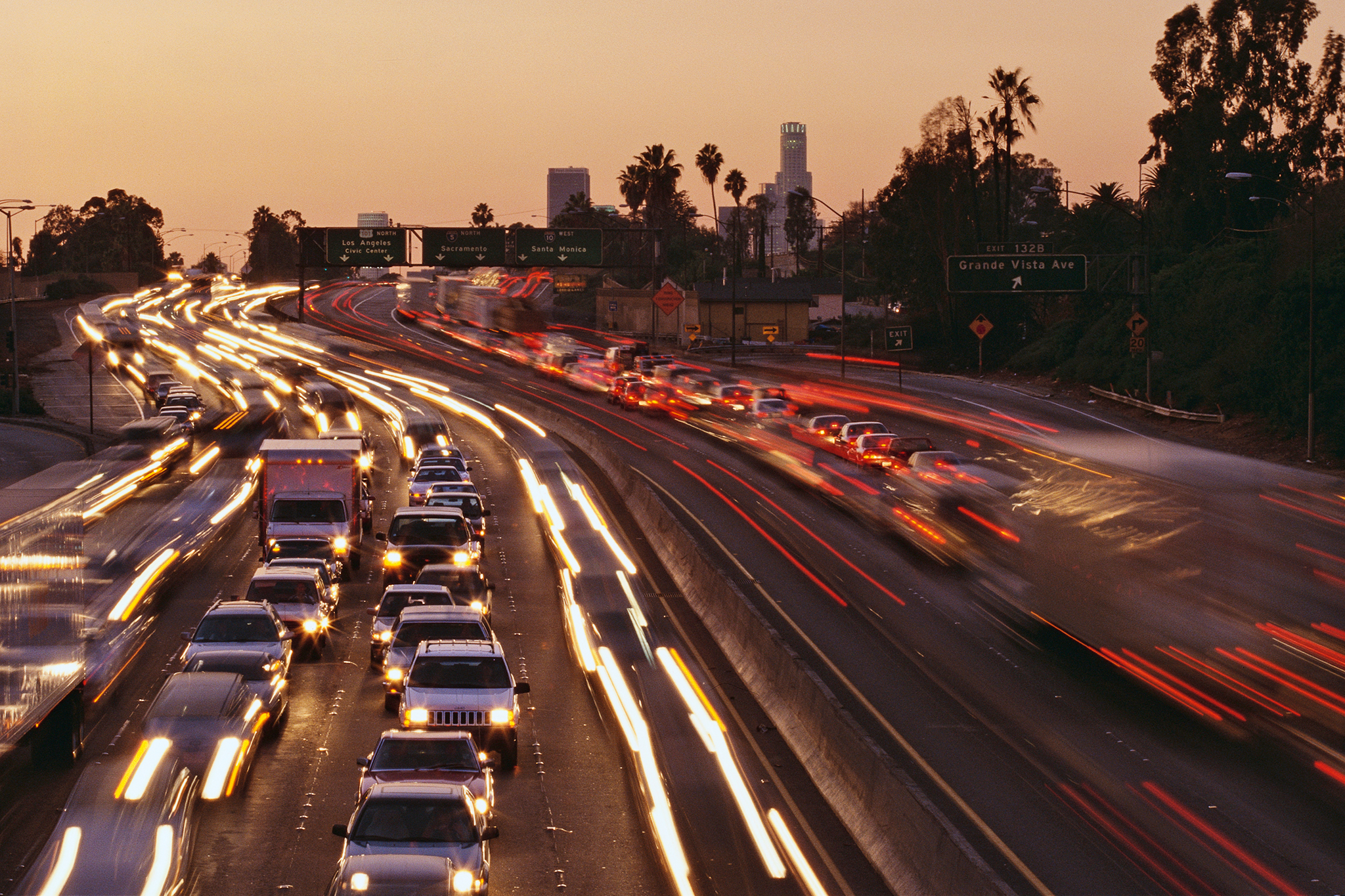
1 week agoHeat is set to blast much of California, topping 100 degrees in some areas
Temperatures across California are expected to reach triple digits early, increasing health risks and fire danger in multiple counties.