Snowboarding
fromSnowBrains
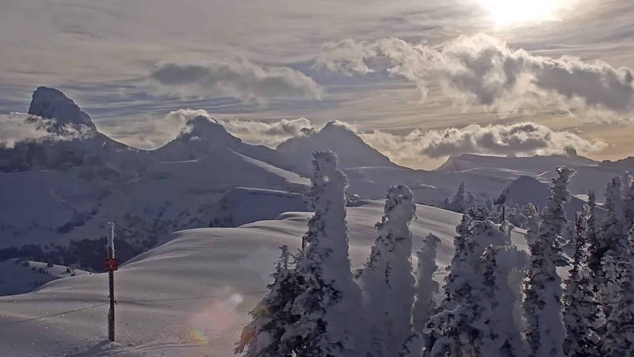
1 week agoBanff Sunshine, AB, Surpasses 10 Meters of Snowfall for the Season
Banff Sunshine closed its 2025-26 season with over 10 meters of snowfall, recording 1,021 cm total and maintaining deep bases into May 18.
The NYC Blizzard of 2026 is doing everything forecasters had said it would this weekend, dumping huge amounts of snow across the five boroughs and bringing the city to a near standstill. At least 15 inches of snow was reported at multiple National Weather Service reporting sites as of 7 a.m. Monday morning with heavy bands of the white stuff forecast to continue battering the Big Apple for several more hours.
Snowfall totals across the five boroughs have climbed into the double digits in several neighborhoods: Staten Island (Richmond County): Up to 14.0 inches in Dongan Hills, 11.3 inches in Grasmere Bronx: 12.0 inches near Mott Haven, 9.5 inches in Co-Op City Manhattan: 11.1 inches in Washington Heights, 11.0 inches at Battery Park, 9.3 inches in Central Park
"It becomes very easy for power outages to occur in this area. So we are expecting some regionalized power outages across the area," Constanzer explained. "It could even be more widespread as you work your way through parts of Long Island, for example, especially east towards Montauk."
While much of the West has limped through a snow-starved season, Keweenaw Peninsula has officially blown past the 200-inch snowfall mark, logging 216.75 inches so far this season as of February 3, according to the Keweenaw County Road Commission. That's more snow than has fallen this winter across Colorado, Utah, Montana, Idaho, and California-a stat that feels fake until you look at the data.
The recent winter storm that slammed North America over the weekend brought along heavy snowfall, delivering some serious snow totals to ski resorts and ski areas from the Rocky Mountains to New England. The past 24 hours brought just around 24 inches of snow to Mountain Creek Resort, creating a serious powder wonderland across the New Jersey ski area. As of January 26th, 43 trails and 8 lifts are open to skiers and snowboarders, with powder and machine groomed conditions found around the mountain.
Bellerose, Queens: 9 inches as of 1:45 p.m. Washington Heights, Manhattan: 8.3 inches as of 1:45 p.m. Sheepshead Bay, Brooklyn: 8.1 inches as of 12:48 p.m. Bay Ridge, Brooklyn: 8 inches as of 12:45 p.m. Dongan Hills, Staten Island: 7.8 inches as of 11:45 a.m. Central Park, Manhattan: 7.2 inches as of 1 p.m. Fresh Meadows, Queens: 7.1 inches as of 1:31 p.m. LaGuardia Airport, Queens: 7.1 inches as of 1 p.m.
WeatherJapan is lined up for a busy January 8-18 stretch with multiple snow-producing waves, highlighted by a major weekend dump and several follow-up refreshers before a warmer, windier finish late week. Central Honshu is the headline with multi-storm totals reaching 50″-80″, while Hokkaido's open resorts keep stacking frequent, generally higher-quality snow that adds up to 20″-65″, with periodic wind impacts on the most exposed terrain.