If tropical cyclone Fina crosses the Northern Territory coast on Friday, it could equal the earliest cyclone to make landfall in Australia. Fina, a category one cyclone about 370km north-east of Darwin, was moving east and expected to intensify to category two before turning south on Thursday. The latest Bureau of Meteorology update (issued at 10.30am local time on Wednesday) anticipated the cyclone would reach the NT coast for potential impact on Friday or Saturday.
Rain will be particularly persistent in western Scotland from Wednesday onwards, with the heaviest rain over hills and mountains, though pulses of heavier rain will extend more widely at times, during Thursday in particular. From later Wednesday through to Friday morning, 50-75mm of rain is expected across a wide area, with in excess of 100mm possible over west-facing mountains. Wind is an accompanying hazard from late on Thursday, with this initially most likely in exposed western coasts.
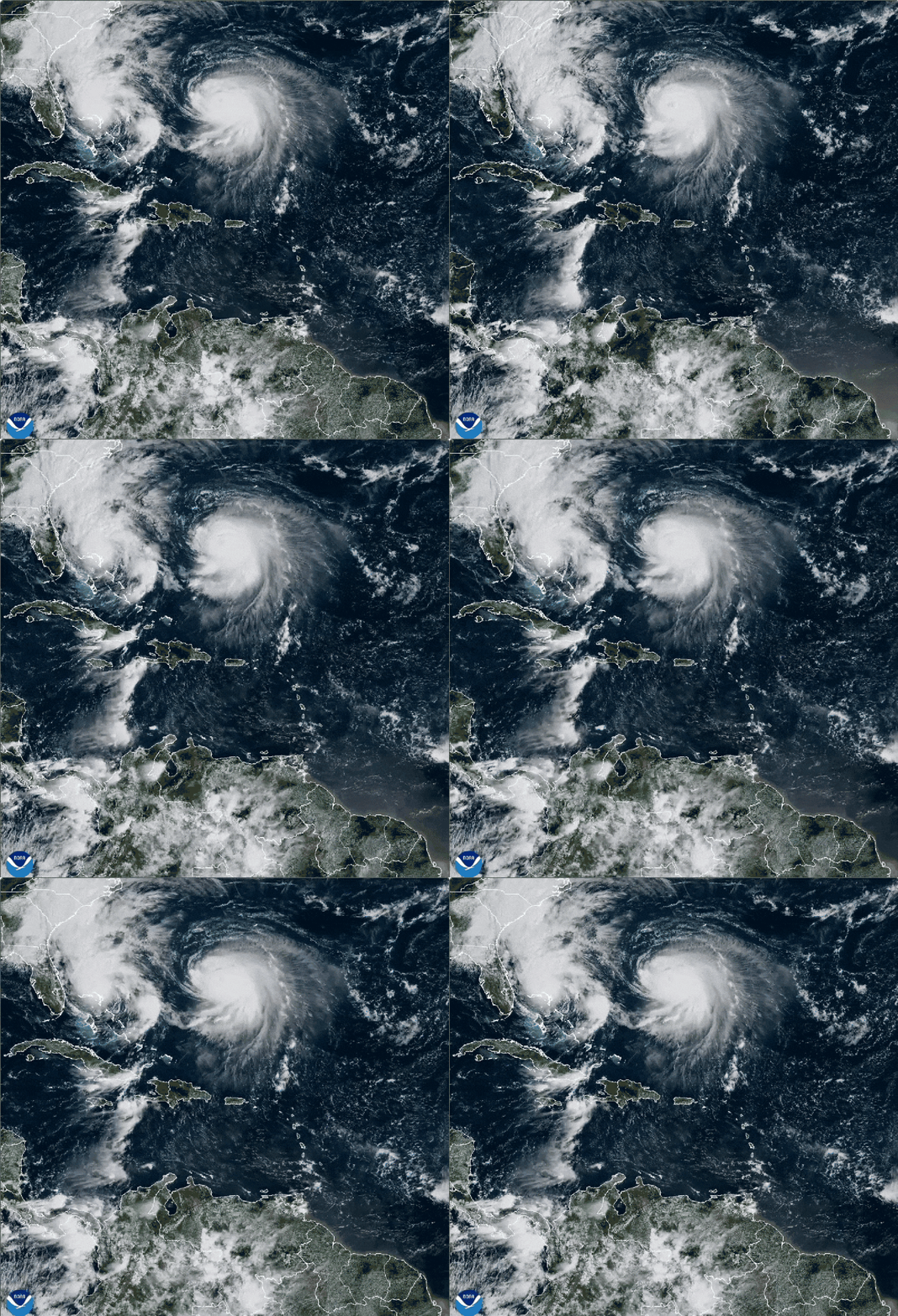
In early June, shortly after the beginning of the Atlantic hurricane season, Google unveiled a new model designed specifically to forecast the tracks and intensity of tropical cyclones. Part of the Google DeepMind suite of AI-based weather research models, the "Weather Lab" model for cyclones was a bit of an unknown for meteorologists at its launch. In a blog post at the time, Google said its new model, trained on a vast dataset that reconstructed past weather and a specialized database containing key information about hurricanes tracks, intensity, and size, had performed well during pre-launch testing.
Traditional models are designed on first physical principles, like conservation of mass, momentum and energy," he said. "Aurora, on the other hand, is not directly using those physical principles, but instead it relies on observations and data.