Environment
fromMail Online
1 day agoStay inside advisories issued across three US states
Thousands of Americans are exposed to unhealthy air quality due to elevated PM2.5 levels, prompting advisories to stay indoors.
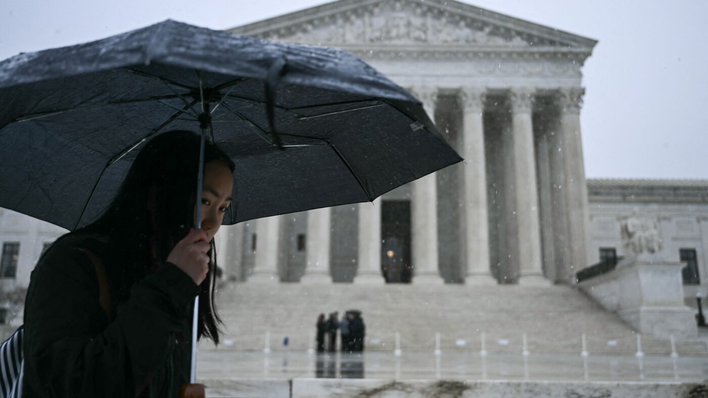
More than 35 million people from the Florida Panhandle through Georgia, the Carolinas, Virginia, Maryland, Washington DC, Delaware, eastern Pennsylvania, New Jersey and parts of New York are under tornado watches. The most dangerous period is expected from midday through early evening, with forecasters warning the peak tornado threat in the Mid-Atlantic could occur between about 2pm and 7pm ET.
The storm from Sunday into Monday has the potential to become a bomb cyclone, which occurs when central pressure drops at least 0.71 inches of mercury (24 millibars) in 24 hours or less. That rapid strengthening would generate an expansive and intense wind field.
"These improvements empower communities to prepare earlier and more effectively for dangerous hazards from tropical storms and hurricanes," said Michael Brennan, director of NOAA's National Hurricane Center.
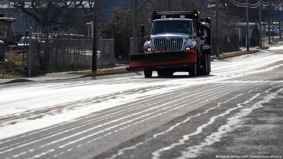
When I spoke with emergency management officials last year, they all mentioned the same frustrating scenario. People ignore storm warnings until the precipitation starts falling, then suddenly everyone rushes out at once. The roads become congested with anxious drivers, accidents spike, and stores run out of essentials just when people need them most. But here's what really gets meteorologists worked up about this pattern. Modern weather forecasting has become incredibly accurate, especially for major winter storms.
Wexford, Wicklow, Dublin, Meath and Louth will be under a Status Yellow wind warning and Met Éireann are warning of fallen trees and loose debris, as well as difficult travelling conditions associated with this warning. Counties Cork, Waterford, Carlow, Kilkenny, Wexford, Wicklow, and Dublin will be under also be under a Status Yellow rain warning and these counties can expect flooding, poor visibility and difficult travel conditions for the 24-hour period.
If you've ever glanced at your phone's weather app to check the day's forecast or to help plan for an upcoming storm, you've probably run across a scenario where you see an outrageous forecast. It happened to me earlier this week when I noticed my app was predicting more than 13 inches of snow for the Charlotte, NC area. Not only would that be a historic storm, but it would also be fairly apocalyptic for an area where even an inch of snow is a rarity.
In November 2025, a massive storm rolled across the lower Mekong River delta, dumping multiple inches of rain onto the wide, flat river plain that covers much of Cambodia. The river rose and rose. The force of the water churned up mud from the river bottom. The muddy water flowed downstream and rushed into the many farming and fishing towns that line the Mekong's banks.
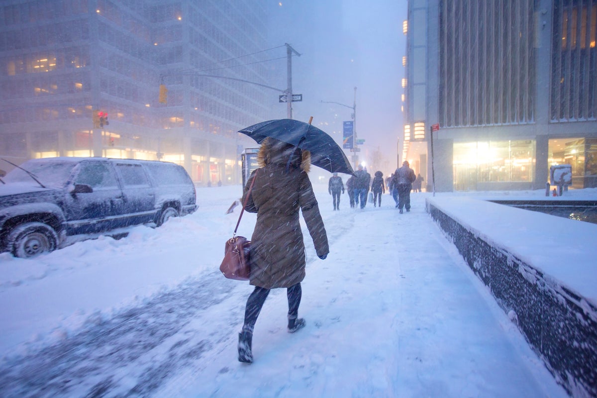
"It becomes very easy for power outages to occur in this area. So we are expecting some regionalized power outages across the area," Constanzer explained. "It could even be more widespread as you work your way through parts of Long Island, for example, especially east towards Montauk."
"It will prove cold with some frost and ice in places on Friday morning, especially in the west and north," she said. "Munster and south Leinster will see cloud, but that will clear to leave dry and sunny conditions with a few isolated showers in the north and highest temperatures of 3C to 7C," she said. Friday night will prove mainly dry but very cold and frosty with some icy patches.
Extreme winds ripping across the US could bring hurricane levels of destruction and impact thousands of air travelers flying across the country. The National Weather Service (NWS) has issued high wind warnings throughout more than 10 states in the Rocky Mountains, Great Plains, and Southwest throughout Tuesday. Wind gusts are expected to reach hurricane strength in parts of Colorado, Montana, Texas, New Mexico, and Wyoming, exceeding 75mph.