#arctic-air-mass
#arctic-air-mass
[ follow ]
#winter-storm #power-outages #climate-change #extreme-cold #extreme-weather #arctic-air #severe-weather


#climate-change
fromFast Company
2 months agoEnvironment
Why is it so cold if there's global warming? Extreme winter weather can deepen misconceptions about climate
Climate change increases global temperatures while also amplifying extreme cold events like Arctic blasts, causing record cold in some regions despite overall warming.
fromABC7 Chicago
6 days agoSevere storms accompanied by tornadoes damage communities from the Plains to the Midwest
Authorities in Kansas reported several people with minor injuries after storms passed through on Monday. Three people were left with minor injuries in rural Franklin County, about 50 miles southwest of Kansas City.
Canada news
fromSnowBrains
6 days agoSnowBrains Forecast: Light BC Snow, 10-20 Centimeters in Alberta Through Friday for BC/Alberta - SnowBrains
The ongoing storm is expected to add 13-16 cm at Banff Sunshine and around 4-5 cm at Lake Louise by Friday morning, with the deepest moisture focused on Alberta.
Snowboarding
fromwww.cbc.ca
2 weeks agoIt may not feel like it, but warmer temperatures are right around the corner: meteorologist | CBC News
Kennedy predicts hot and dry conditions from the west will shift eastward later this week, allowing for a noticeable warm-up and shift towards spring-like conditions.
Canada news
#extreme-weather


Environment
fromFast Company
1 month agoWeather whiplash to sweep U.S. with simultaneous blizzard, polar vortex, and heat dome
Extreme weather is affecting nearly all U.S. regions simultaneously, including record heat in the Southwest, snow in the Great Lakes, Arctic cold in the Midwest and East, and heavy rain in Hawaii.
Science
fromYahoo News
1 month agoPolar vortex split could bring brutal cold to Northeast. Will it impact NY?
A polar vortex split in the stratosphere will redirect Arctic air southward, bringing single-digit temperatures to the Great Lakes and Northeast later this month, with potential impacts extending to Tennessee and the Carolinas.
#winter-storm


Canada news
fromwww.theguardian.com
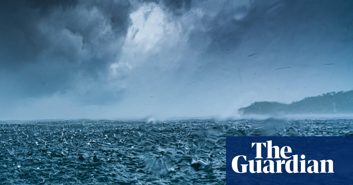
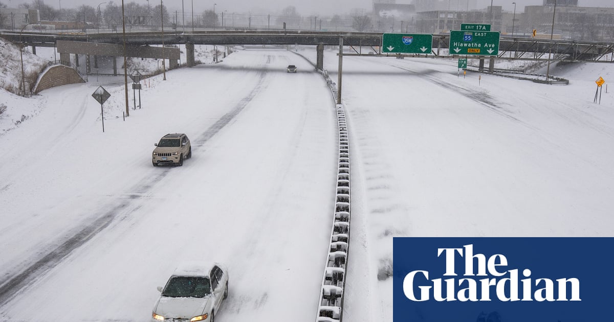
1 month agoWeather tracker: heavy snowfall and freezing rain sweep across US and Canada
A major winter storm is sweeping northeastern US and southeastern Canada, bringing heavy snow, freezing rain, strong winds, and a dangerous polar air mass with temperatures 10-25°C below seasonal average.


fromThe Atlantic
2 months agoThe Blind Spot at the Top of the World
He had flown in from Mar-a-Lago and, he told me, was there to observe. The next day, he watched as Åsa Rennermalm, a Rutgers University professor who studies polar regions, sat onstage with European foreign ministers and spoke out against cuts to U.S. science funding. "A leading US Arctic scientist is on stage absolutely ripping her country to the delight of the audience," Dans wrote on X. "Embarassing." He punctuated his post with an American-flag emoji.
US politics

fromwww.npr.org
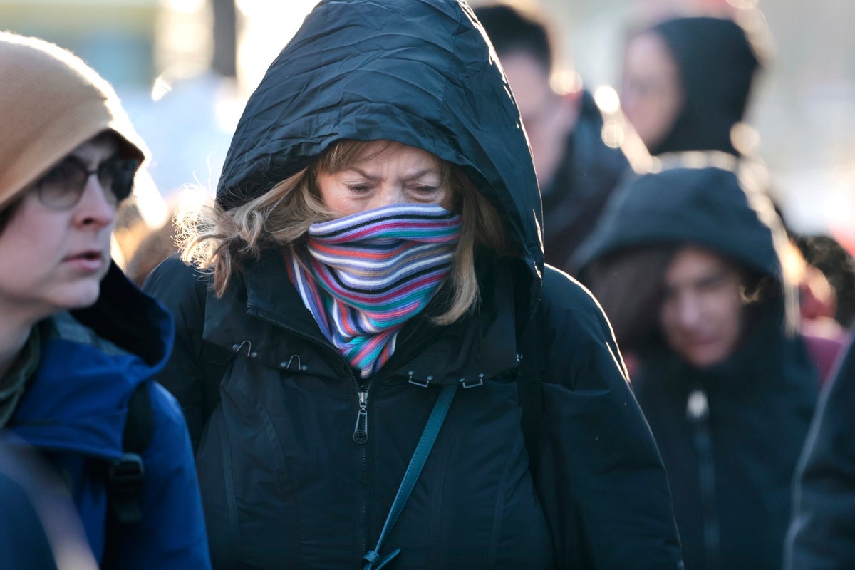
2 months agoFAQ: What is wind chill, and why is it dangerous?
Wind chill is a measure of how quickly bodies lose heat when you combine low temperatures with high winds. And wind chill conditions can be dangerous. "The stronger the winds [and] the colder it is, the more likely you are to develop frostbite in a short amount of time or hypothermia," says Jessica Lee of the National Weather Service's Weather Prediction Center.
Public health
World news
fromwww.theguardian.com
2 months agoWeather tracker: tropical cyclones hit Australia and Madagascar and -40C cold snap in northern Europe
Concurrent tropical cyclones caused severe coastal damage and flooding in Western Australia and Madagascar while Europe experienced contrasting wet and cold weather extremes.

fromsilive
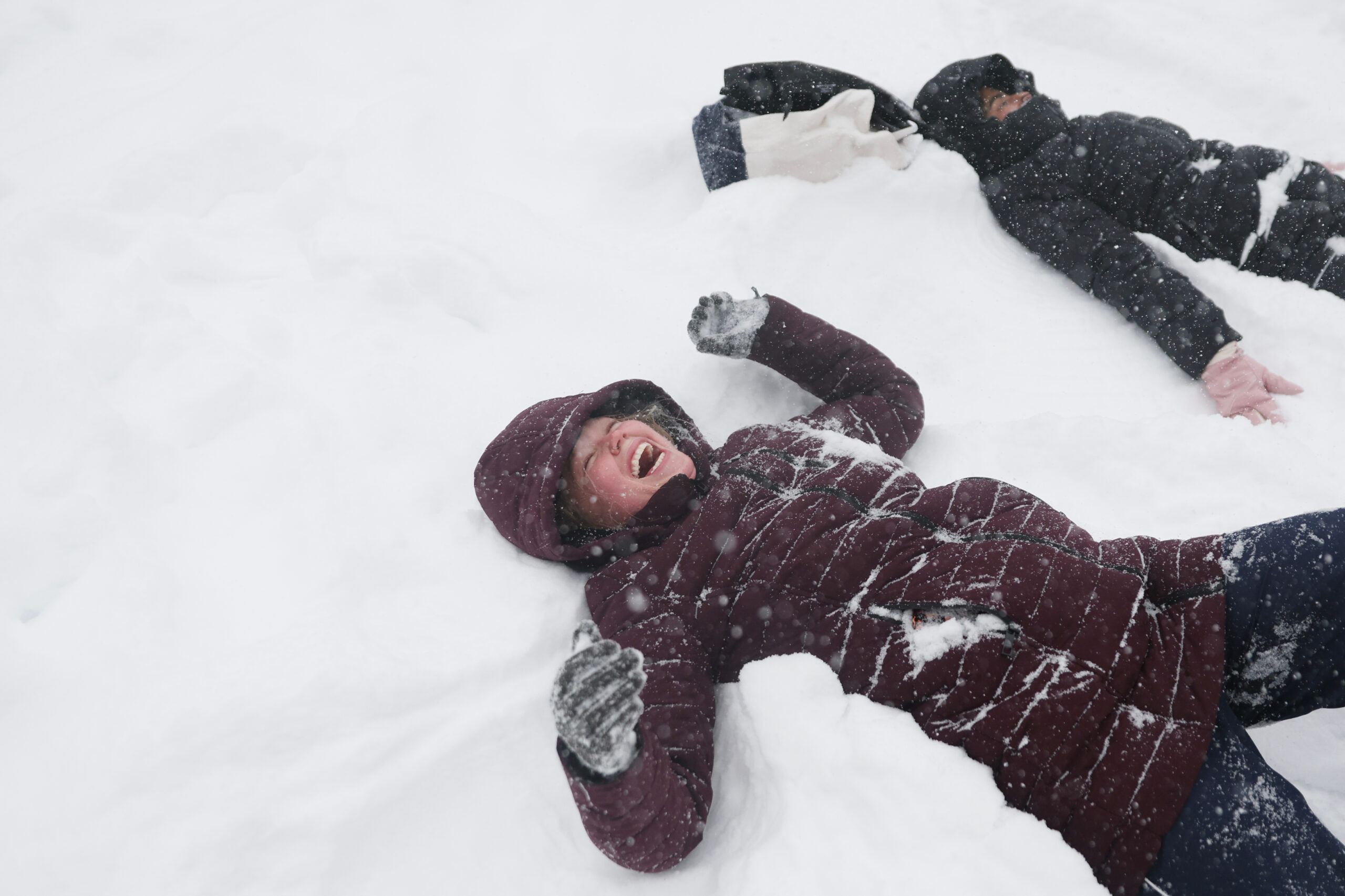
1 month agoN.Y. weather: Blizzard warning issued for NYC; here's latest on rising snow projections, whiteout conditions
Residents should prepare for the worst of the storm late Sunday night, when snowfall rates could exceed 2 inches per hour. The weather service believes the heaviest snow will come down from 7 p.m. Sunday through about 12 p.m. Monday. The snow is expected to develop Sunday morning and afternoon, possibly mixing with rain at the onset before tapering off late Monday morning into Monday afternoon.
New York City


Environment
fromIntelligencer
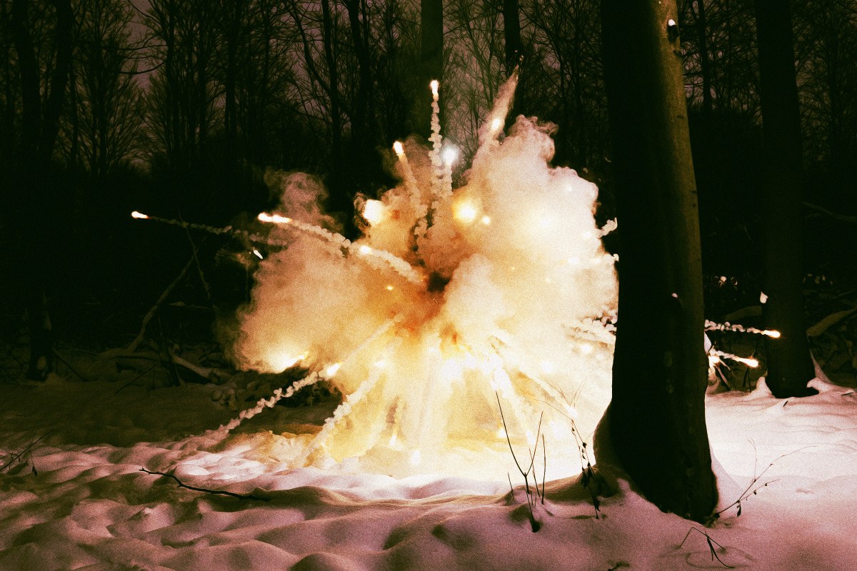
2 months agoThunder Ice to Exploding Trees: A Glossary of Scary Winter Storm Terms
A winter storm will bring thunder-driven freezing precipitation (thunder-ice/thunder-sleet) across the Mississippi River Valley while an extreme cold snap risks tree explosions in the Midwest.
fromUnofficial Networks
2 months agoThe Next Week Is Looking Sad For North American Snowfall
Many of us are riding the high of the recent major snowstorm wondering when the next big powder day will swing through. Unfortunately for most of North America, it looks like the snowy weather won't be returning anytime soon, or at least not for the next week. Meteorologist Chris Tomer 's Mountain Weather Update paints a rather sad picture for snowfall totals in North America between January 29th and February 5th.
Snowboarding
fromwww.theguardian.com
2 months agoWeather tracker: Record snowfall in eastern Russia leaves people stranded
A record-breaking snowfall event unfolded in far eastern Russia last week when the town of Petropavlovsk-Kamchatsky, located on the Kamchatka peninsula's east coast, received more than 1.8 metres (6 feet) of lying snow in places. Strong winds accompanying the snowfall caused extreme drifting of more than 3 metres against buildings and cars. Two key ingredients combined to cause such an extreme snowfall event. Strong Pacific low pressures dragged moist air from the tropics northwards, which clashed with cold Arctic air already over the region. Conveyor belts of tropical air are called atmospheric rivers and often bring heavy rainfall to places such as California.
Environment
[ Load more ]