#roll-clouds
#roll-clouds
[ follow ]
#winter-storm #weather #weather-forecasting #snowfall #weather-apps #bay-area #meteorology #bay-area-weather


fromsfist.com
1 week agoSunday Links: California Hit With Thunder, 30,000 Lightning Strikes Over the Weekend
After 21 hours of talks, US and Iran did not reach a deal to end the war, as Vice President JD Vance said talks stalled after the US made a final offer pushing for stronger guarantees that Iran won't develop nuclear weapons.
US news
#weather-forecasting


Apple
fromNieman Lab
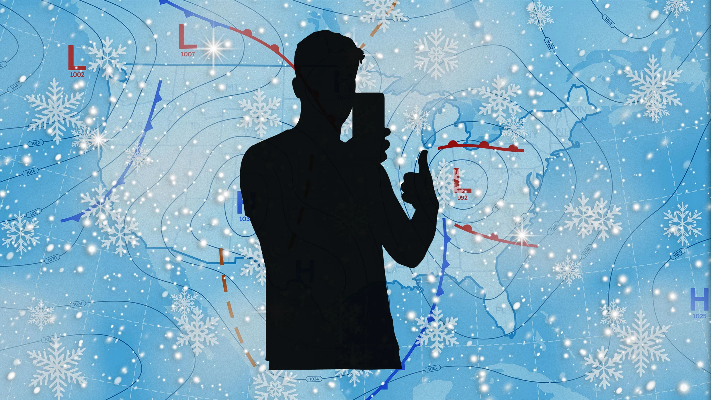
1 month agoThe team behind Dark Sky launches a weather app for uncertain, low-trust times
Acme Weather, from Dark Sky creators, displays forecast uncertainty through multiple prediction scenarios instead of single-point forecasts, acknowledging that weather predictions are inherently unreliable.

fromABC7 San Francisco
3 weeks agoBay Area weather radar network aims to improve storm forecasting, flood prep and drought planning
"This is going to help fill that gap in minutes to hours lead time that's vital to know where the heaviest rain is going to hit," Ralph said. "And when and what communities are going to be affected so people in the preparedness community and water resource management community can take action to help protect people's lives and property."
San Francisco
Environment
fromFast Company
1 month agoWeather whiplash to sweep U.S. with simultaneous blizzard, polar vortex, and heat dome
Extreme weather is affecting nearly all U.S. regions simultaneously, including record heat in the Southwest, snow in the Great Lakes, Arctic cold in the Midwest and East, and heavy rain in Hawaii.


fromSnowBrains
2 months agoSnowBrains Forecast: Rare Summer Storm Will Bring 8 Inches to New Zealand This Week - SnowBrains
WeatherNew Zealand's Southern Alps see a small, wet early-week storm that peaks on Tuesday, with Mt Hutt and Mount Dobson leading totals. Snow levels start high Monday night near 6,200-6,600 feet, then drop into the 4,700-5,000 feet range on Tuesday as temperatures settle near freezing, improving the odds of snow reaching lower mountain elevations. Snow quality stays on the heavy side with SLRs mostly around 6-7:1, so expect dense, moisture-rich snow rather than light powder, and moderate southeast winds add some exposed-ridge bite.
Snowboarding


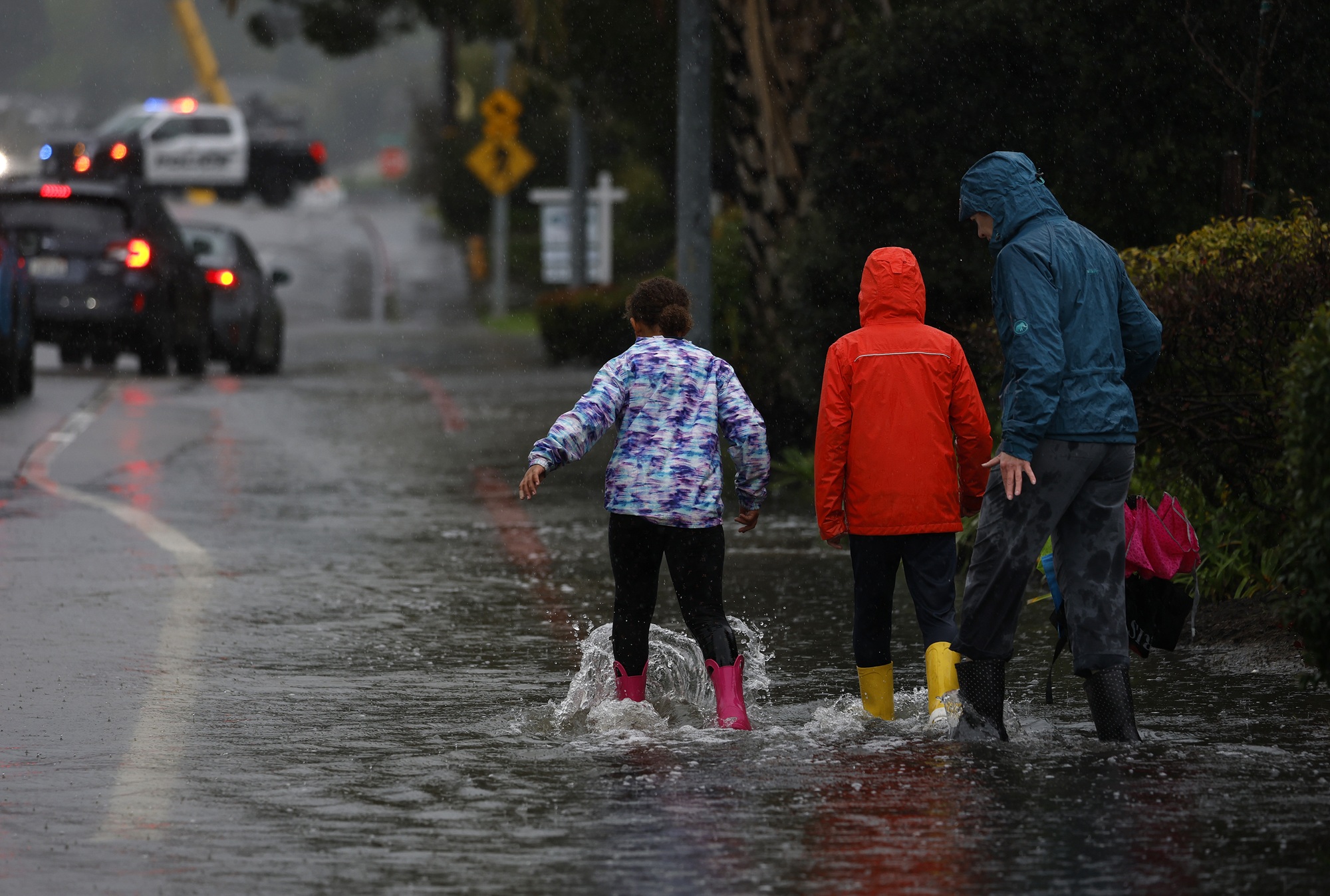
fromThe Mercury News
2 months agoAnticipated rain will bring end to Bay Area's dry pattern
The pattern change began Monday when the barometric pressure surrounding the region started to fall gradually. That increase in low pressure is coming from the southwest and the air is flowing north, opposite of many winter low-pressure systems that dip in from the Pacific Northwest. As a result, light but steady rain is expected to start in Monterey County and the Central Coast late Tuesday morning. The rain is expected to reach the region closer to San Francisco sometime Tuesday night, Murdock said.
Environment
fromwww.theguardian.com
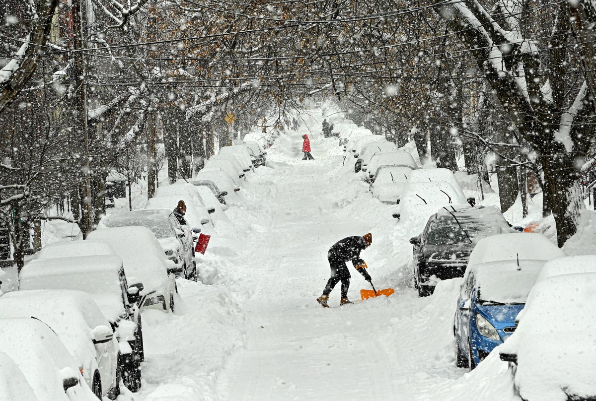
2 months agoBomb cyclone brings freezing temperatures and snow to millions in US
A bomb cyclone produced freezing temperatures across a large portion of the US from the Gulf coast to New England, bringing heavy snow to North Carolina where two were killed in storm-related conditions, and setting records in Florida, where officials warned of ice and falling iguanas. About 150 million people were under cold weather advisories and extreme cold warnings in the eastern portion of the US,
Environment
California
fromLos Angeles Times
2 months agoFirst wave of nearly a week of rain hits Southern California. Snow expected for Mammoth, Tahoe
Southern California experienced heavy rains with flood watches, wind advisories, burn-scar evacuation warnings, and forecasts of significant rainfall and mountain snow this week.
[ Load more ]