#weather-forecasting
#weather-forecasting
[ follow ]
#climate-change #meteorology #public-safety #national-weather-service #artificial-intelligence #noaa


fromIndieWire
1 day ago'Pressure' Review: Brendan Fraser's General Eisenhower Drowns in Dull D-Day Weather Drama
It’s a bird’s-eye view of countless bloody bodies scattered across a beach following Operation Tiger: the disastrous Allied rehearsal for D-Day that left hundreds of men dead weeks before the real invasion of Normandy ever began. For that brief moment, filmmaker Anthony Maras seems poised to make something politically urgent and even psychologically immersive from one of World War II's most pivotal strategic decisions.
Film


fromMail Online
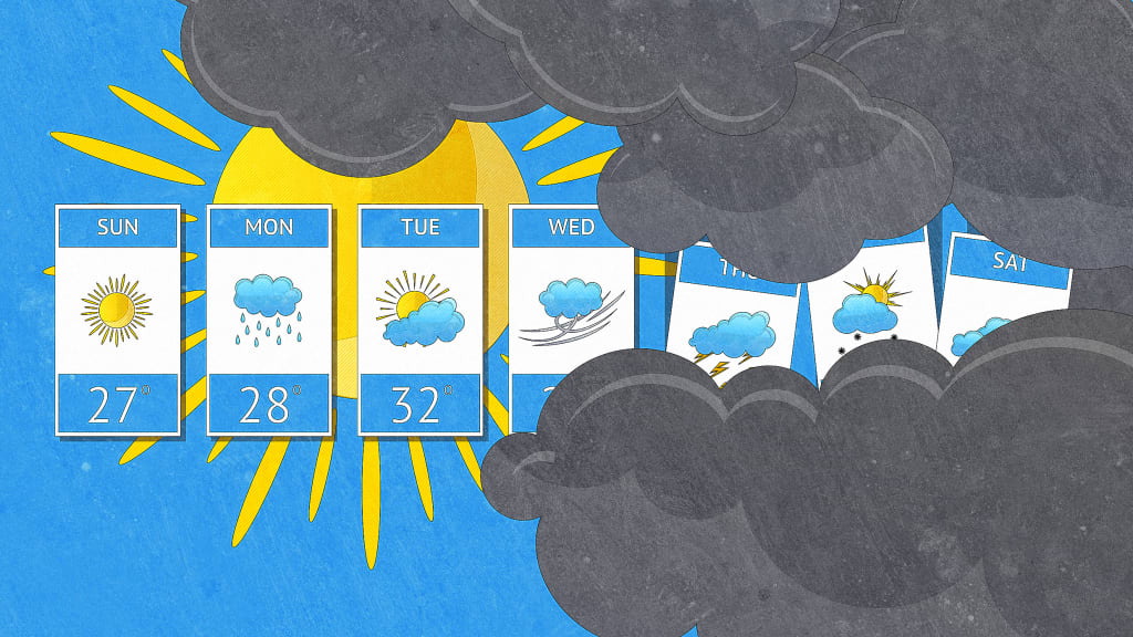
2 months agoScientists reveal what a '30% chance of rain' REALLY means
A 30% chance of rain means that there is a small chance - three times out of 10 - that it will rain, but seven times out of 10, it will stay dry. And that 30% could still mean a heavy downpour for the full length of time covered by the forecast, or a brief five-minute shower right at the end.
Roam Research
fromMail Online
2 months agoUrgent 1,000-mile tornado watch issued along East Coast
More than 35 million people from the Florida Panhandle through Georgia, the Carolinas, Virginia, Maryland, Washington DC, Delaware, eastern Pennsylvania, New Jersey and parts of New York are under tornado watches. The most dangerous period is expected from midday through early evening, with forecasters warning the peak tornado threat in the Mid-Atlantic could occur between about 2pm and 7pm ET.
Miami food
fromTechCrunch
2 months agoGoogle is using old news reports and AI to predict flash floods | TechCrunch
While humans have assembled a lot of weather data, flash floods are too short-lived and localized to be measured comprehensively, the way the temperature or even river flows are monitored over time. That data gap means that deep learning models, which are increasingly capable of forecasting the weather, aren't able to predict flash floods.
Science
Data science
fromComputerWeekly.com
2 months agoMet Office 'supercomputing as a service' one year old | Computer Weekly
The Met Office's cloud-based supercomputing system from Microsoft achieved 100% availability for critical workloads over one year, delivering 60 quadrillion calculations per second with comparable latency to on-site infrastructure while offering greater flexibility and cost efficiency.
Chicago
fromwww.theguardian.com
2 months agoTornadoes hit Illinois, Indiana and Texas as severe storms sweep US
A series of tornadoes struck Texas, Illinois, and Indiana, killing at least two people in Indiana, with severe weather and flooding threats continuing through Wednesday across multiple states.
Apple
fromNieman Lab
2 months agoThe team behind Dark Sky launches a weather app for uncertain, low-trust times
Acme Weather, from Dark Sky creators, displays forecast uncertainty through multiple prediction scenarios instead of single-point forecasts, acknowledging that weather predictions are inherently unreliable.
fromBoston.com
3 months agoDave Epstein: How long will it take for all this snow to melt?
Providence, for example, had 7 inches of snow on the ground before Monday's storm and now has over 40 inches. So, it doesn't take a scientist to know that several feet of snow is going to take a bit to melt.
US news
fromSnowBrains
3 months agoColorado Avalanche Information Center Warns of Heightened Avalanche Danger Over Presidents Day Weekend - SnowBrains
Avalanche danger is CONSIDERABLE (Level 3 of 5) across Colorado's Northern and Central mountains, and is expected to remain elevated through the weekend. In many areas, backcountry travelers can easily trigger avalanches in new storm snow, and some avalanches may break into deeper buried weak layers. An additional round of snow Friday night will increase avalanche danger in the Southern Mountains as the holiday weekend continues.
Snowboarding
fromSilicon Canals
3 months agoThe one thing meteorologists wish people would stop doing before a winter storm hits - Silicon Canals
When I spoke with emergency management officials last year, they all mentioned the same frustrating scenario. People ignore storm warnings until the precipitation starts falling, then suddenly everyone rushes out at once. The roads become congested with anxious drivers, accidents spike, and stores run out of essentials just when people need them most. But here's what really gets meteorologists worked up about this pattern. Modern weather forecasting has become incredibly accurate, especially for major winter storms.
Public health


US news
fromFortune
4 months agoAs Winter Storm Fern barrels in, all eyes are on the Weather Channel. Its CEO is charting the company's next big forecast: growth | Fortune
A massive winter storm, Fern, threatens roughly 150 million Americans while the Weather Company provides critical weather information and faces audience and business pressure.


fromMail Online
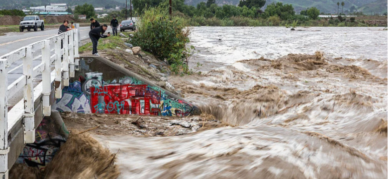
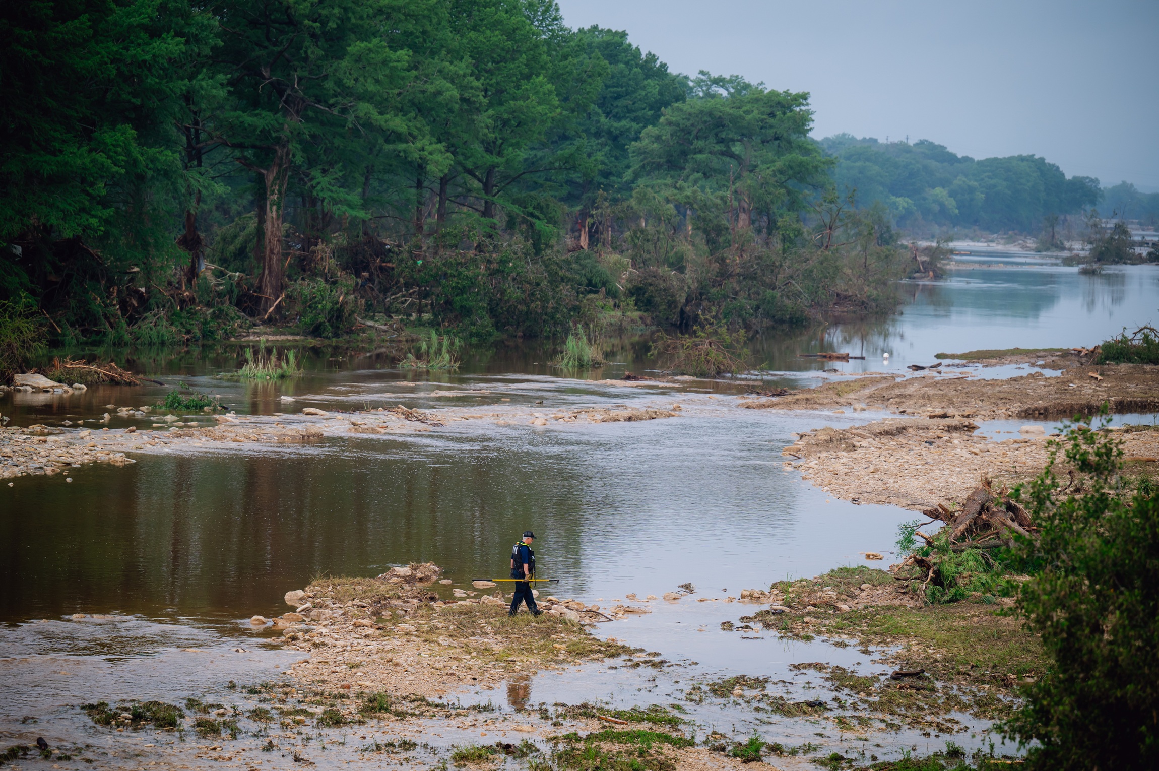
10 months agoTexas stations' National Weather Service funding slashed before flood
The National Weather Service (NWS) experienced severe staffing shortages due to federal workforce reductions, impeding their ability to manage critical weather forecasts during catastrophic flooding.
US politics
fromwww.theguardian.com
10 months agoTed Cruz ensured Trump spending bill slashed weather forecasting funding
Ted Cruz ensured the Republican spending bill slashed funding for weather forecasting, then went on vacation to Greece while Texas faced deadly flooding. Cruz visited Greece on Saturday after a flash flood killed over 100 people in Texas, including children at a camp, during which he promised lawmakers' response upon his return. Cruz acknowledged that something went wrong with the warning system for the flood, emphasizing the need for a better system of alerts to get children to safety.
US politics


[ Load more ]