#snowfall-warning
#snowfall-warning
[ follow ]
#winter-storm #power-outages #travel-disruptions #noreaster #snow-forecast #snowfall #snow-accumulation
fromSnowBrains
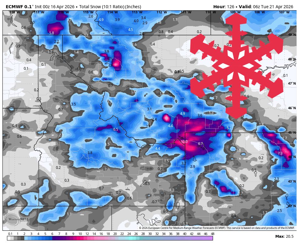
4 hours agoSnowBrains Forecast: Up to 10 Inches on the Highest PNW Terrain Midweek - SnowBrains
Timberline is the clear winner for open terrain with around 7-9 inches, while Mt. Bachelor picks up 4-5 inches but remains closed. Most Washington resorts look too warm or too dry for meaningful new snow.
Snowboarding
fromSnowBrains
1 day agoSnowBrains Forecast: Light High-Elevation Snow for South America Through Tuesday - SnowBrains
The ongoing Sunday night into Monday storm across the central Andes keeps producing mainly upper-mountain snow through Monday before tapering out by Tuesday morning, April 21. A realistic near-term outcome is about 16-20 cm at Las Leñas, 9-11 cm at Valle Nevado, and lighter 5-8 cm amounts around El Colorado, La Parva, and Portillo.
Snowboarding


fromSnowBrains
5 days agoSnowBrains Forecast: Light BC Snow, 10-20 Centimeters in Alberta Through Friday for BC/Alberta - SnowBrains
The ongoing storm is expected to add 13-16 cm at Banff Sunshine and around 4-5 cm at Lake Louise by Friday morning, with the deepest moisture focused on Alberta.
Snowboarding


fromsilive
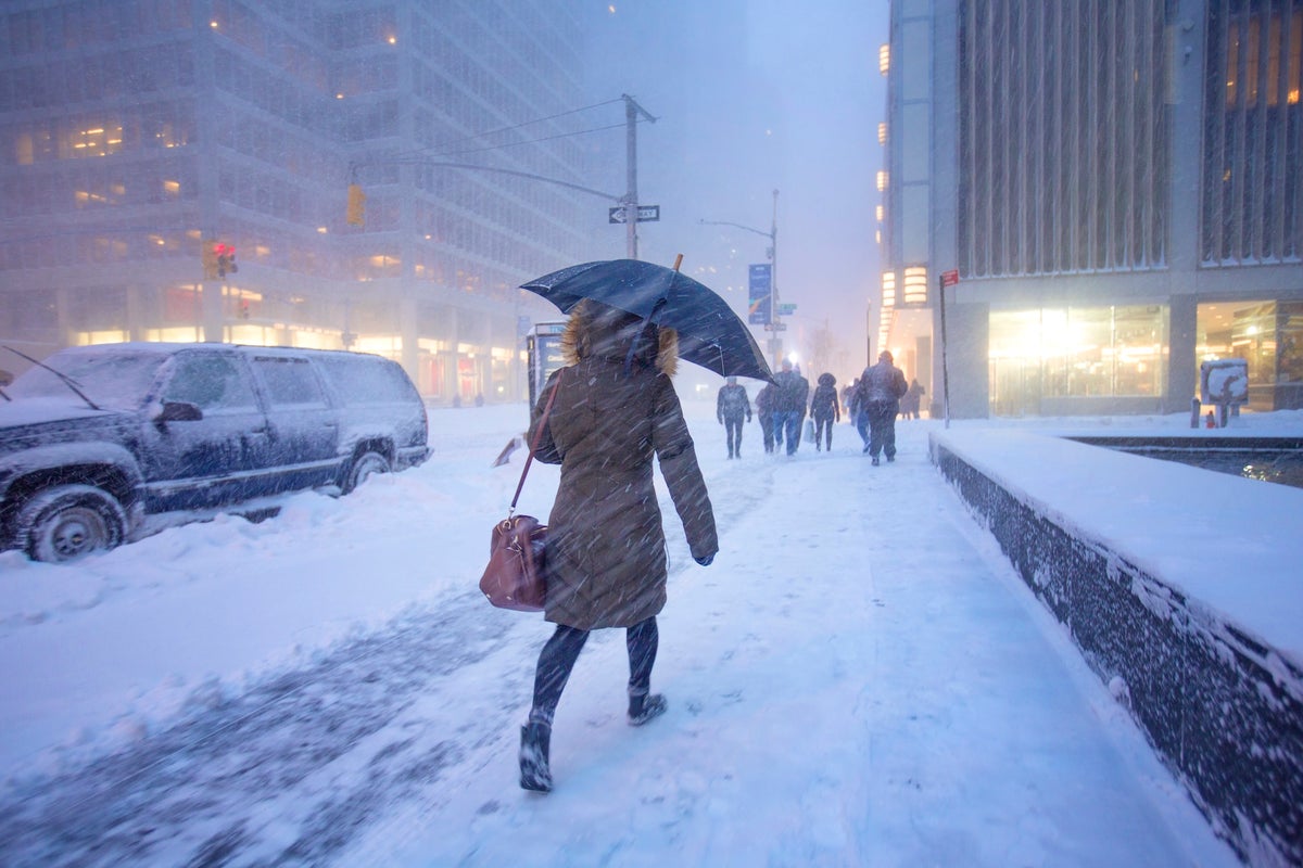
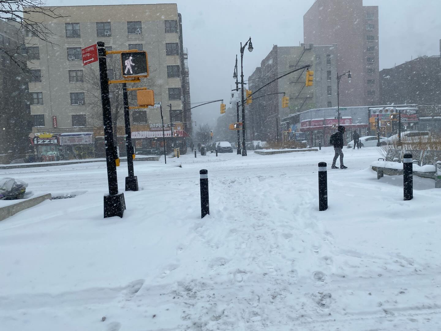
1 month agoN.Y. weather: Blizzard warning issued for NYC; here's latest on rising snow projections, whiteout conditions
Residents should prepare for the worst of the storm late Sunday night, when snowfall rates could exceed 2 inches per hour. The weather service believes the heaviest snow will come down from 7 p.m. Sunday through about 12 p.m. Monday. The snow is expected to develop Sunday morning and afternoon, possibly mixing with rain at the onset before tapering off late Monday morning into Monday afternoon.
New York City


Public health
fromSilicon Canals
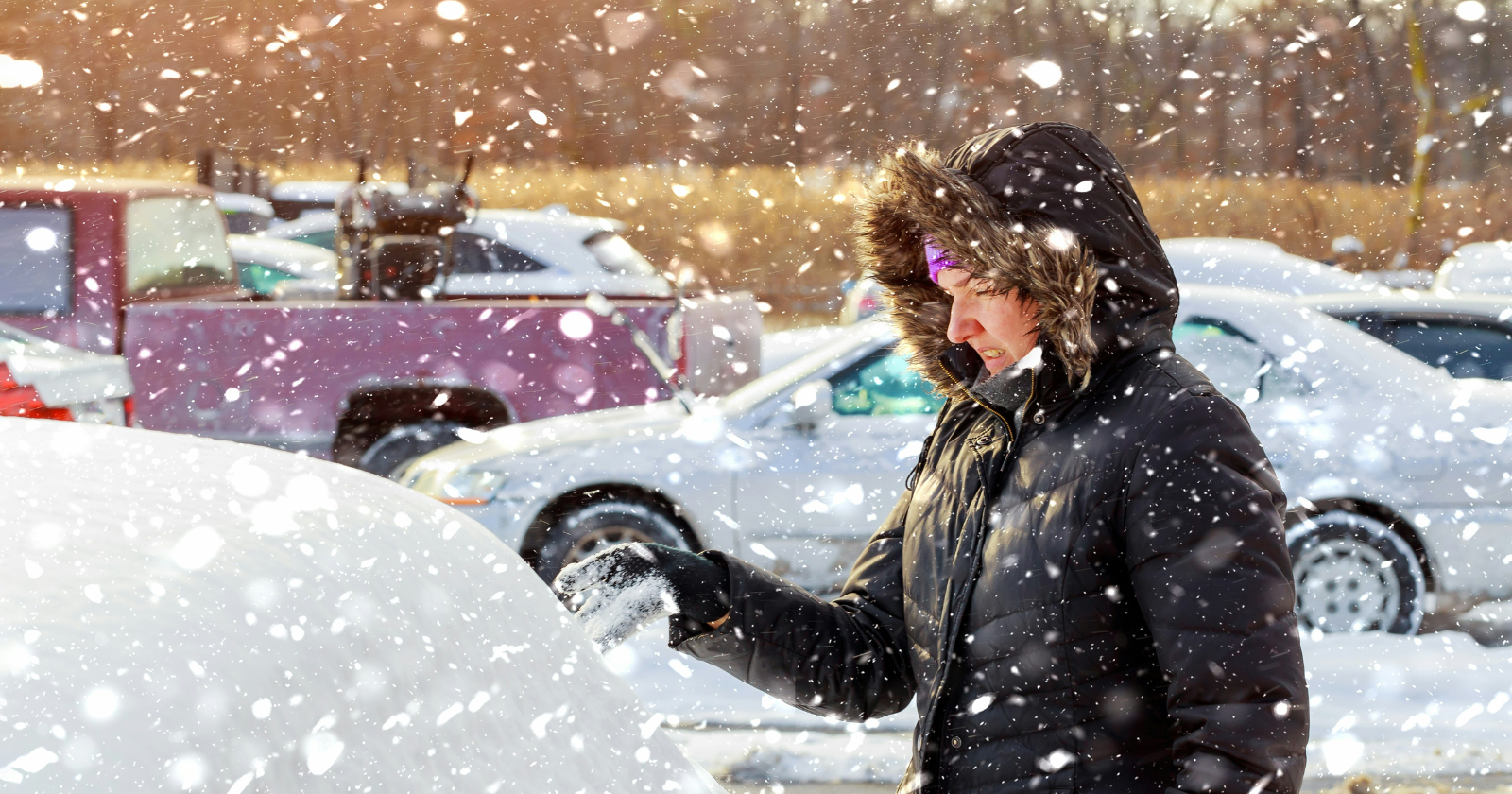
2 months agoFebruary freeze alert: why this weekend's temperatures are more dangerous than snow - Silicon Canals
Extreme cold causes silent, life-threatening harm (hypothermia, frostbite, organ failure) and requires more attention than visible snowstorms or supply-focused prepping.
fromwww.scientificamerican.com
1 month agoA bomb cyclone is bringing blizzard conditions to the Northeast. So what is a blizzard exactly?
But what, exactly, is a blizzard? A blizzard doesn't always mean "a lot of snow," though it can certainly bring heavy snowfalls, as this storm is expected to along parts of the East Coast. Rather, the National Weather Service defines it as a snowstorm with winds regularly above 35 miles per hour and "considerable falling" or blowing snow for at least three hours.
Science

fromTime Out New York
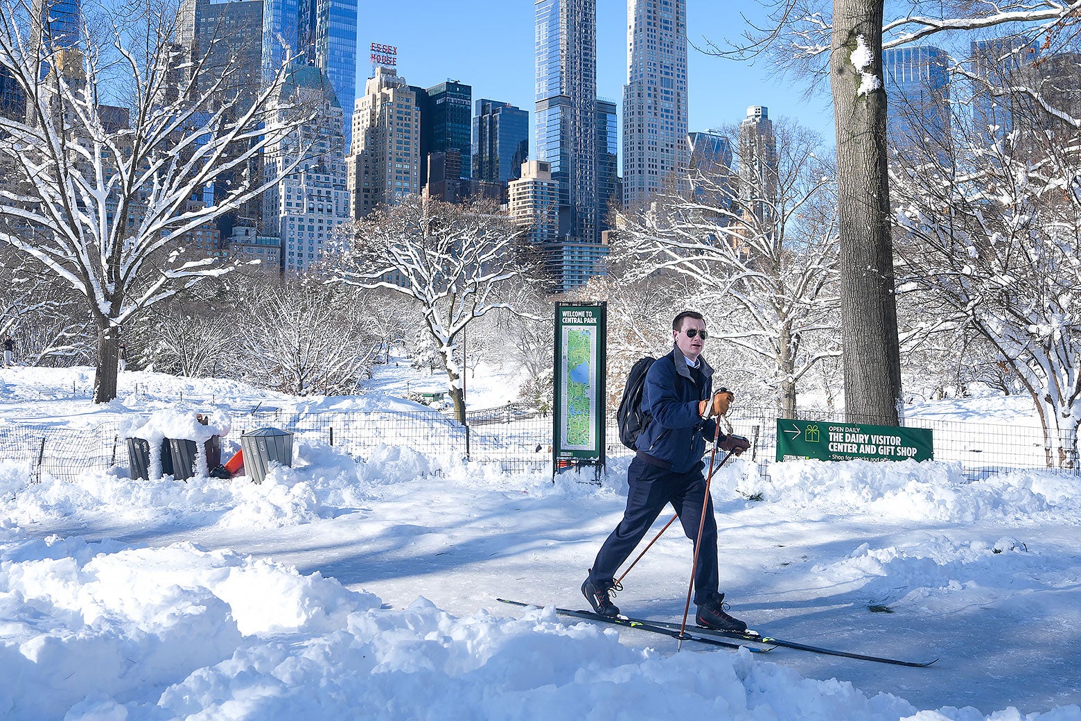
2 months agoIs another snowstorm headed for NYC this weekend?
Right now, forecast models are split. Some keep the storm far enough out to sea to spare New York City from snowfall but others show snow reaching coastal New Jersey and Long Island late Saturday into Sunday. A shift of just 50 to 100 miles in either direction could change everything, from rain versus snow to whether the city sees accumulation at all.
New York City
Environment
fromIntelligencer
2 months agoThunder Ice to Exploding Trees: A Glossary of Scary Winter Storm Terms
A winter storm will bring thunder-driven freezing precipitation (thunder-ice/thunder-sleet) across the Mississippi River Valley while an extreme cold snap risks tree explosions in the Midwest.
Snowboarding
fromSnowBrains
1 month agoSnowBrains Forecast: Windy Friday, Then Up to 3 Feet in the Midwest by Tuesday - SnowBrains
A major Saturday night through Monday storm will bring 15-34 inches of snow across the Midwest and northern Lower Michigan ski areas, with Friday's clipper providing 3-7 inches of wind-worked snow before conditions improve midweek.
fromwww.theguardian.com
2 months agoBomb cyclone brings freezing temperatures and snow to millions in US
A bomb cyclone produced freezing temperatures across a large portion of the US from the Gulf coast to New England, bringing heavy snow to North Carolina where two were killed in storm-related conditions, and setting records in Florida, where officials warned of ice and falling iguanas. About 150 million people were under cold weather advisories and extreme cold warnings in the eastern portion of the US,
Environment

fromUnofficial Networks
2 months agoThe Next Week Is Looking Sad For North American Snowfall
Many of us are riding the high of the recent major snowstorm wondering when the next big powder day will swing through. Unfortunately for most of North America, it looks like the snowy weather won't be returning anytime soon, or at least not for the next week. Meteorologist Chris Tomer 's Mountain Weather Update paints a rather sad picture for snowfall totals in North America between January 29th and February 5th.
Snowboarding
fromSnowBrains
1 month agoSnowBrains Forecast: Cold Start With Up to 3 Inches in the Northeast Through Wednesday - SnowBrains
Sunday and Monday stay sharply cold with only light nuisance snow early, followed by a better but still modest snowfall window Tuesday afternoon through early Wednesday. After that, confidence drops as a broader Thursday night through weekend precipitation cycle arrives with bigger spread on snow versus rain at different elevations.
Snowboarding
[ Load more ]