#weekend-storm-forecast
#weekend-storm-forecast
[ follow ]
#weather #climate-change #el-nino #southern-california #severe-weather #extreme-weather #winter-storm


#severe-weather
US news
fromwww.theguardian.com
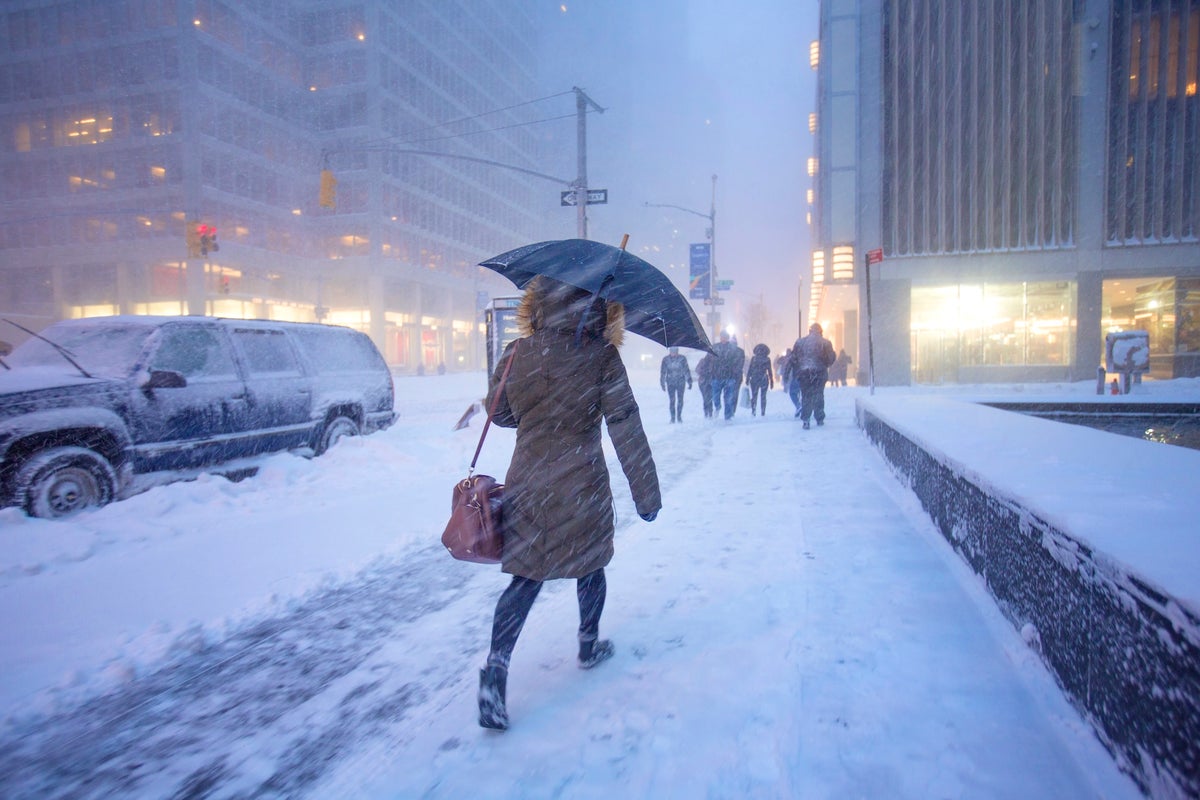
1 month agoTriple-threat megastorm' to scatter snow, high winds and thunder across US
A major March megastorm will impact nearly 200 million Americans with severe snow, damaging winds, tornadoes, and flooding, ranking among the most impactful US weather events of the year.
US news
fromwww.theguardian.com
1 month agoTriple-threat megastorm' to scatter snow, high winds and thunder across US
A major March megastorm will impact nearly 200 million Americans with severe snow, damaging winds, tornadoes, and flooding, ranking among the most impactful US weather events of the year.
fromSnowBrains
4 days agoSnowBrains Forecast: Light High-Elevation Snow for South America Through Tuesday - SnowBrains
The ongoing Sunday night into Monday storm across the central Andes keeps producing mainly upper-mountain snow through Monday before tapering out by Tuesday morning, April 21. A realistic near-term outcome is about 16-20 cm at Las Leñas, 9-11 cm at Valle Nevado, and lighter 5-8 cm amounts around El Colorado, La Parva, and Portillo.
Snowboarding


France news
fromwww.theguardian.com
1 month agoWeather tracker: Southern France under yellow alert after severe thunderstorms
Severe thunderstorms in southern France produced record rainfall, the Gapeau river flooded, Illinois reported a potential hail size record, and South Africa experienced record-breaking March heat from high pressure.
fromMail Online
1 month agoHazardous weather alert for 200 million as megastorm barrels across US
The storm from Sunday into Monday has the potential to become a bomb cyclone, which occurs when central pressure drops at least 0.71 inches of mercury (24 millibars) in 24 hours or less. That rapid strengthening would generate an expansive and intense wind field.
Chicago
US news
fromFortune
1 month agoThe weather sampler platter will wallop the U.S. this week: extreme heat in the south, downpours and snow in the east-with a side of the polar vortex | Fortune
Nearly all U.S. regions face extreme weather including record heat in the Southwest, snow in the Great Lakes, Arctic cold in the Midwest and East, and heavy rain in Hawaii within the coming days.
fromIrish Independent
2 months agoStorm Chandra: Heavy rain and strong winds forecast, as weather warnings in place for more than a dozen counties
Met Éireann has issued weather warnings for 13 counties, saying bands of rain from Storm Chandra will be "heavy and persistent". The Status Yellow rain warning for Carlow, Kilkenny, Louth, Wexford, Wicklow and Waterford are due to end at 11pm on Tuesday. Forecasters also issued a Status Yellow wind warning for Cork, Kerry, Waterford, Dublin, Louth, Wexford, Kilkenny, Wicklow, Carlow, Meath, Kildare, Monaghan and Cavan. The warnings will also be in effect until 11pm on Tuesday.
Miscellaneous
fromSilicon Canals
2 months agoThe one thing meteorologists wish people would stop doing before a winter storm hits - Silicon Canals
When I spoke with emergency management officials last year, they all mentioned the same frustrating scenario. People ignore storm warnings until the precipitation starts falling, then suddenly everyone rushes out at once. The roads become congested with anxious drivers, accidents spike, and stores run out of essentials just when people need them most. But here's what really gets meteorologists worked up about this pattern. Modern weather forecasting has become incredibly accurate, especially for major winter storms.
Public health


fromwww.npr.org
1 month agoEl Nino is set to take hold this summer, driving up global temperatures
Even though the evidence is still early, this could be a very significant event in 2026 and lingering into 2027. Its function in the global earth system is to release heat from the deeper oceans that has been temporarily stored there. El Nino allows that subducted heat to be unearthed.
US news
fromZDNET
2 months agoForget your weather app: 15 reliable meteorologists and other sources for accurate ice storm updates
If you've ever glanced at your phone's weather app to check the day's forecast or to help plan for an upcoming storm, you've probably run across a scenario where you see an outrageous forecast. It happened to me earlier this week when I noticed my app was predicting more than 13 inches of snow for the Charlotte, NC area. Not only would that be a historic storm, but it would also be fairly apocalyptic for an area where even an inch of snow is a rarity.
Science
fromwww.mercurynews.com
2 months agoFor some in Bay Area, rain may be mixed with occasional thunder, lightning
The shower activity is going to continue throughout the day, National Weather Service meteorologist Lamont Bain said. As it pertains to thunderstorm risk, there's probably a 10-to-15 percent chance. There is a lot of instability between the upper low pressure and the lower air. That upper low is going to spin out there and not move much, and that's why the rain showers are going to be scattered throughout the day and why the best chances for thunder are out over the ocean.
California


California
fromLos Angeles Times
2 months agoFirst wave of nearly a week of rain hits Southern California. Snow expected for Mammoth, Tahoe
Southern California experienced heavy rains with flood watches, wind advisories, burn-scar evacuation warnings, and forecasts of significant rainfall and mountain snow this week.
fromLos Angeles Times
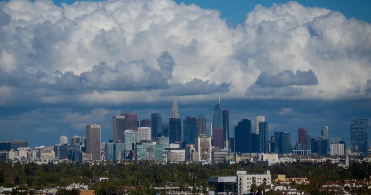
2 months agoAs teeth chatter across the U.S., Southern California is a hot spot: What to expect this week
While cold-stunned iguanas fall from trees in Florida and videos circulate of frozen "exploding" trees in the Northeast, Southern California is working up a sweat. A midwinter heat wave has descended on much of the state and is expected to spike temperatures as much as 20 degrees above normal in the coming week. The summer-like heat is thanks to a ridge of high pressure lingering high in the atmosphere that extends through the San Francisco Bay Area and into the Pacific Northwest.
Environment
fromIrish Independent
2 months agoMet Eireann expands last-minute thunderstorm warning to eight counties, as Ireland braces itself for another rainy weekend
Our weather is set to stay unsettled for the next little while with more rain, showers and blustery conditions to come, Though it will turn milder as we head into the weekend with warmer than average temperatures for this time of year. As we head into next week then staying mild and quite breezy with further outbreaks of rain on both Monday and Tuesday,
Environment
fromABC7 San Francisco
7 years agoThe ABC7 Exclusive Storm Impact Scale explained
LIVE RADAR: Track storms as they move through the Bay Area with Live Doppler 7 Take a look at the chart above -- we will give each storm a number with 1 being the lightest type of storm and 5 being the most severe. This way you'll know what to expect. Number 1 means a light storm with 1/2 an inch of rain or less and likely lasting a few hours or less. Number 2 is a moderate storm with 1/2 an inch to one inch of rain forecast and could include scattered power outages.
Environment
Environment
fromFortune
1 month agoThe last 3 years were the hottest ever recorded. Here's why we may look back at them as some of the coolest we remember | Fortune
2025 was the third-hottest year on record despite cooling factors like La Niña, reduced solar activity, and fewer wildfires, indicating hidden warming influences are masking expected temperature decreases.
[ Load more ]