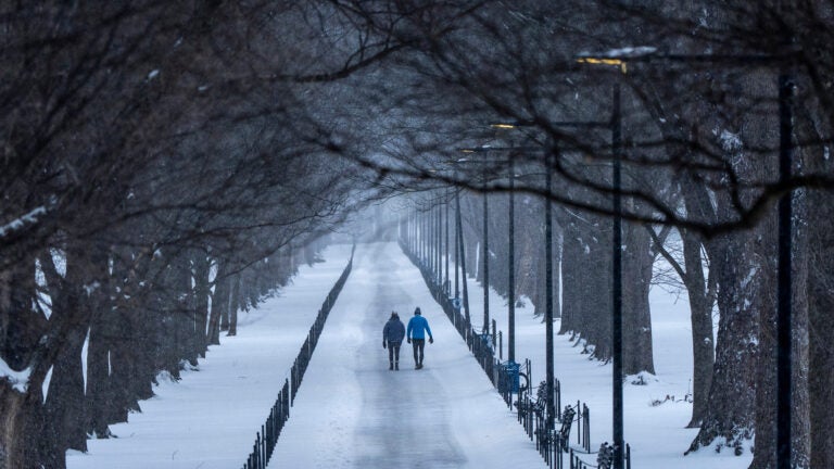
#winter-weather-preparedness
#winter-weather-preparedness
[ follow ]
#winter-storm #power-outages #climate-change #travel-disruptions #extreme-cold #weather #new-york-city
fromABC7 Chicago
1 day agoSevere storms accompanied by tornadoes damage communities from the Plains to the Midwest
Authorities in Kansas reported several people with minor injuries after storms passed through on Monday. Three people were left with minor injuries in rural Franklin County, about 50 miles southwest of Kansas City.
Canada news
Mental health
fromSilicon Canals
1 day agoPeople who are excellent in emergencies and fall apart during ordinary weeks aren't wired wrong. Their nervous system was calibrated for crisis, and calm registers as the absence of signal rather than the presence of safety. They function brilliantly when the house is burning because fire is the only temperature that feels familiar. - Silicon Canals
The autonomic nervous system has a social engagement system that affects how individuals respond to stress and calm.
Fashion & style
fromLondon Business News | Londonlovesbusiness.com
2 days agoWhy most waterproof workwear fails on construction sites - London Business News | Londonlovesbusiness.com
Consumer-grade waterproofs fail in physical work due to design flaws, particularly seam integrity and breathability under stress.
#crisis-management
Mental health
fromSilicon Canals
1 day agoThe person who thrives during a crisis and falls apart during ordinary weeks isn't broken. Their entire operating system was built for emergencies, and peace registers as a system error because they never learned what competence feels like without urgency underneath it. - Silicon Canals
Crisis-thrivers are often dysregulated, struggling with normalcy after emergencies, revealing a deeper issue with their nervous system's response to stress.
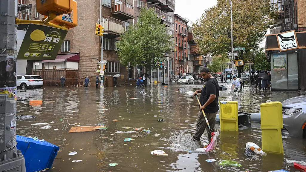
fromwww.cbc.ca
1 day agoMinden, Ont., declares state of emergency after massive flooding | CBC News
The town declared a state of emergency Tuesday at 2:00 p.m., citing an increasing level of water on its Gull River which flows directly through the town and more rainy, warmer weather forecasted for the next five to ten days.
Canada news
fromSnowBrains
3 days agoLow Snow Backcountry Skiing: How to Find the Last Good Snow
Cody Townsend has called Recent Imagery 'the most useful tool for finding snow.' He notes that it will not tell you snow quality, but it does show 'where it's melted out or freshly coated' and helps plan missions efficiently.
Snowboarding
fromSnowBrains
3 days agoLevel 4 Wet Avalanche Danger Issued Across European Alps as Spring Snowpack Becomes Unstable - SnowBrains
Avalanche forecaster Matthias Walcher explained that water is now penetrating deep into the snowpack, weakening long-standing weak layers that formed earlier in the winter. This process significantly increases the likelihood of spontaneous wet avalanches, particularly on steep west-, north-, and east-facing slopes between 2,200 and 2,500 meters.
Snowboarding
fromTasting Table
2 months agoThe 10 Best Foods To Keep In Your Car In Case Of Winter Weather Emergencies - Tasting Table
There are several things you'll want to keep in your car for winter emergencies, including a first aid kit, blankets, jumper cables, and even an emergency radio. But what about food? You don't want to be sitting there for hours, hungry and freezing cold, with nothing to eat. We talked to a few safety experts, including Dr. Jason Schroder, medical director and co-founder of Craft Body Scan;
Food & drink

fromSilicon Canals
2 months agoThe one thing meteorologists wish people would stop doing before a winter storm hits - Silicon Canals
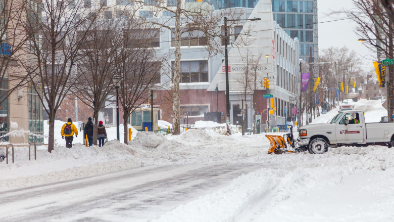
When I spoke with emergency management officials last year, they all mentioned the same frustrating scenario. People ignore storm warnings until the precipitation starts falling, then suddenly everyone rushes out at once. The roads become congested with anxious drivers, accidents spike, and stores run out of essentials just when people need them most. But here's what really gets meteorologists worked up about this pattern. Modern weather forecasting has become incredibly accurate, especially for major winter storms.
Public health
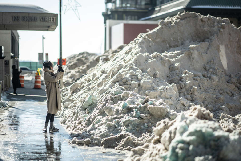
fromBrooklyn Eagle
2 months ago10 people die in NYC's frigid cold, raising questions about the city's preparedness
Each is among a growing number of people - at least 10, as of Tuesday - who died after being exposed to the bitter cold that has persisted in New York City since late last Friday. Their causes of death are still under investigation, but some showed signs of having succumbed to hypothermia. Officials said several victims were believed to have been living on the streets. At least six of the fatalities came early Saturday, as the temperature in the city fell to 9 degrees (minus 13 degrees Celsius).
Brooklyn
fromsfist.com
1 month agoThursday Morning What's Up: Brace for More Frigid Weather
Yes, this was another frigid morning in the Bay Area, and today is going to be windy. There may be scattered showers early, and you can expect another frigid night tonight into tomorrow, and an extreme cold weather warning from 1 am to 9 am tomorrow. [NWS Bay Area / Chronicle] In addition to the AT&T store returning to its old digs at the foot of Powell Street, another Union Square retailer is returning to a store they previously closed.
San Francisco
fromTravel + Leisure
1 month agoBlizzard-like Storms Are Hitting Parts of the U.S.-Here Are the 8 Smartest Items to Have to Stay Warm
When I arrived in Belgrade on the last day of September, I knew drizzly walks and brisk fall temperatures were in the cards. But on my third day in Serbia, less than two weeks into autumn, the snow started falling-and when I woke up in my cozy mountainside hotel in Zlatibor the next morning, it was piled 10 inches high.
Fashion & style
fromwww.npr.org
2 months agoFAQ: What is wind chill, and why is it dangerous?
Wind chill is a measure of how quickly bodies lose heat when you combine low temperatures with high winds. And wind chill conditions can be dangerous. "The stronger the winds [and] the colder it is, the more likely you are to develop frostbite in a short amount of time or hypothermia," says Jessica Lee of the National Weather Service's Weather Prediction Center.
Public health


fromwww.cbc.ca
2 months agoWeather alert for frigid temperatures, frostbite risk issued for this weekend: Environment Canada | CBC News
Residents in the Greater Toronto Area are in for another chilly weekend with warnings issued for risk of frostbite, according to Environment Canada. The national weather agency issued a yellow weather alert Saturday morning for wind chills of -25 to -30 for Saturday morning. Those frigid temperatures are expected to come back again Saturday night and stick around until Sunday morning. However, there will be some sunny breaks on Saturday with a high of -11 C that will feel like -19 C in the afternoon.
Canada news
fromwww.cbc.ca
2 months agoBrace for frigid weather Thursday night, Torontonians told in yellow cold warning | CBC News
Torontonians are being told to bundle up and brace for frigid temperatures Thursday night now that the city has been placed under a yellow cold warning. Wind chill values will make it feel like 30 to 35 Thursday night into early Friday morning, Environment Canada said in the warning. "Cover up," the federal weather agency said. "Frostbite can develop within minutes on exposed skin, especially with wind chill."
Canada news
fromTime Out New York
2 months agoIs another snowstorm headed for NYC this weekend?
Right now, forecast models are split. Some keep the storm far enough out to sea to spare New York City from snowfall but others show snow reaching coastal New Jersey and Long Island late Saturday into Sunday. A shift of just 50 to 100 miles in either direction could change everything, from rain versus snow to whether the city sees accumulation at all.
New York City


Environment
fromIntelligencer
2 months agoThunder Ice to Exploding Trees: A Glossary of Scary Winter Storm Terms
A winter storm will bring thunder-driven freezing precipitation (thunder-ice/thunder-sleet) across the Mississippi River Valley while an extreme cold snap risks tree explosions in the Midwest.
[ Load more ]